Area Overview for SG11 1BQ
Photos of SG11 1BQ
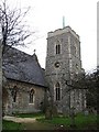
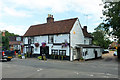
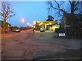
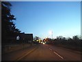
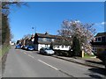
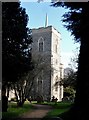
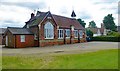
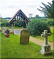
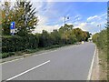
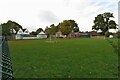
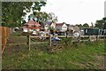
19 photos from this area
Area Information
Key information about the SG11 1BQ including its size, population, and administrative classification.
- Area Type
- Postcode
- Area Size
- 6.4 hectares
- Population
- 1573
- Population Density
- 100 people/km²
House Prices in SG11 1BQ
56
Properties
£635,871
Average Sold Price
£250,250
Lowest Price
£845,000
Highest Price
Showing 56 properties
| Address | Type | Beds | Baths | Last Sale Price | Last Sale Date | |
|---|---|---|---|---|---|---|
| 50 Arthur Martin Leake Way, High Cross, SG11 1BQ | Semi-detached | 4 | 2 | £660,000 | Mar 2025 | |
| 34 Arthur Martin Leake Way, High Cross, SG11 1BQ | Detached | 4 | 2 | £670,000 | Jan 2025 | |
| 36 Arthur Martin Leake Way, High Cross, SG11 1BQ | Detached | 5 | 3 | £815,000 | Jan 2025 | |
| 2 Arthur Martin Leake Way, High Cross, SG11 1BQ | house | - | - | £250,250 | Nov 2024 | |
| 35 Arthur Martin Leake Way, High Cross, SG11 1BQ | Detached | 5 | 4 | £845,000 | Jun 2023 | |
| 39 Arthur Martin Leake Way, High Cross, SG11 1BQ | house | - | - | £690,000 | Jun 2022 | |
| 27 Arthur Martin Leake Way, High Cross, SG11 1BQ | house | - | - | £625,000 | Jan 2022 | |
| 25 Arthur Martin Leake Way, High Cross, SG11 1BQ | house | - | - | £283,500 | Aug 2021 | |
| Oakmont, 37 Arthur Martin Leake Way, High Cross, SG11 1BQ | Detached | 6 | 4 | £825,000 | Jul 2021 | |
| 55 Arthur Martin Leake Way, High Cross, SG11 1BQ | Detached | 4 | 3 | £600,000 | Jun 2021 |
Page 1 of 6
Energy Efficiency in SG11 1BQ
Amenities
Schools
| Rank | School | Type | Entry gender | Ages |
|---|
Explore more schools in this area
Go to Schools tabDemographics
Household Size
Family (3-5 people)
most common
Accommodation Type
Houses
most common
Tenure
75
majority
Ethnic Group
White
most common
Religion
N/A
most common
Household Composition
N/A
most common
Age
47
median
Adults (30-64 years)
most common
Household Deprivation
N/A
with no deprivation
NS-SEC
38
in Lower managerial occupations
Explore more demographic insights in this area
Go to Demographics tabPlanning
Planning Constraints
- Flood RiskPremium
- Ramsar Wetland SitesPremium
- Area of Outstanding Natural BeautyPremium
- Protected Nature ReservePremium
- Protected WoodlandPremium