Area Overview for SG1 6NJ
Photos of SG1 6NJ
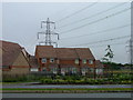
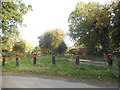
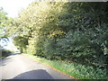

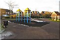
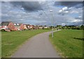
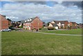
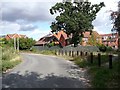


11 photos from this area
Area Information
Key information about the SG1 6NJ including its size, population, and administrative classification.
- Area Type
- Postcode
- Area Size
- 1.7 hectares
- Population
- 1324
- Population Density
- 6449 people/km²
House Prices in SG1 6NJ
47
Properties
£271,100
Average Sold Price
£134,671
Lowest Price
£462,500
Highest Price
Showing 47 properties
| Address | Type | Beds | Baths | Last Sale Price | Last Sale Date | |
|---|---|---|---|---|---|---|
| 35 Whitehorse Lane, Great Ashby, Stevenage, SG1 6NJ | Terraced | 2 | 1 | £375,000 | Oct 2025 | |
| 14 Whitehorse Lane, Great Ashby, Stevenage, SG1 6NJ | Terraced | 3 | 2 | £365,000 | May 2024 | |
| 39 Whitehorse Lane, Great Ashby, Stevenage, SG1 6NJ | house | 3 | 2 | £435,000 | May 2024 | |
| 30 Whitehorse Lane, Great Ashby, Stevenage, SG1 6NJ | Semi-detached | 4 | - | £462,500 | Nov 2022 | |
| 33 Whitehorse Lane, Great Ashby, Stevenage, SG1 6NJ | house | 2 | 2 | £340,000 | Jun 2022 | |
| 51 Whitehorse Lane, Great Ashby, Stevenage, SG1 6NJ | Terraced | 2 | 2 | £290,000 | Apr 2021 | |
| 34 Whitehorse Lane, Great Ashby, Stevenage, SG1 6NJ | Terraced | 4 | 2 | £345,000 | Jan 2021 | |
| 28 Whitehorse Lane, Great Ashby, Stevenage, SG1 6NJ | Semi-detached | 3 | 2 | £360,000 | Aug 2020 | |
| 29 Whitehorse Lane, Great Ashby, Stevenage, SG1 6NJ | Terraced | 2 | 2 | £285,000 | Aug 2019 | |
| 55 Whitehorse Lane, Great Ashby, Stevenage, SG1 6NJ | Terraced | 3 | 2 | £358,500 | Aug 2019 |
Page 1 of 5
Energy Efficiency in SG1 6NJ
Amenities
Schools
| Rank | School | Type | Entry gender | Ages |
|---|
Explore more schools in this area
Go to Schools tabDemographics
Household Size
Family (3-5 people)
most common
Accommodation Type
Houses
most common
Tenure
74
majority
Ethnic Group
White
most common
Religion
N/A
most common
Household Composition
N/A
most common
Age
47
median
Adults (30-64 years)
most common
Household Deprivation
N/A
with no deprivation
NS-SEC
45
in Lower managerial occupations
Explore more demographic insights in this area
Go to Demographics tabPlanning
Planning Constraints
- Flood RiskPremium
- Ramsar Wetland SitesPremium
- Area of Outstanding Natural BeautyPremium
- Protected Nature ReservePremium
- Protected WoodlandPremium