Area Overview for SG1 5DP
Photos of SG1 5DP
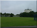
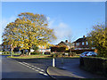
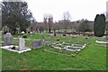
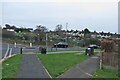
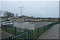
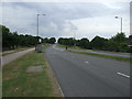
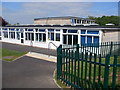
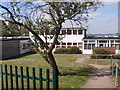
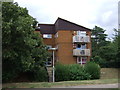
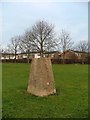
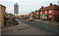
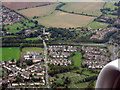
14 photos from this area
Area Information
Key information about the SG1 5DP including its size, population, and administrative classification.
- Area Type
- Postcode
- Area Size
- 7009 m²
- Population
- 1396
- Population Density
- 6660 people/km²
House Prices in SG1 5DP
19
Properties
£275,200
Average Sold Price
£142,000
Lowest Price
£360,000
Highest Price
Showing 19 properties
| Address | Type | Beds | Baths | Last Sale Price | Last Sale Date | |
|---|---|---|---|---|---|---|
| 329 Lonsdale Road, Stevenage, SG1 5DP | Semi-detached | 3 | 1 | £360,000 | Aug 2025 | |
| 349 Lonsdale Road, Stevenage, SG1 5DP | house | 2 | 1 | £335,000 | Oct 2022 | |
| 327 Lonsdale Road, Stevenage, SG1 5DP | house | - | - | £277,000 | Mar 2021 | |
| 359 Lonsdale Road, Stevenage, SG1 5DP | Semi-detached | 3 | - | £332,000 | Mar 2021 | |
| 345 Lonsdale Road, Stevenage, SG1 5DP | house | 3 | 1 | £315,000 | Jan 2021 | |
| 333 Lonsdale Road, Stevenage, SG1 5DP | house | - | - | £335,000 | Sep 2020 | |
| 335 Lonsdale Road, Stevenage, SG1 5DP | Semi-detached | 3 | - | £265,000 | Apr 2017 | |
| 351 Lonsdale Road, Stevenage, SG1 5DP | Terraced | - | - | £225,000 | Jun 2007 | |
| 363 Lonsdale Road, Stevenage, SG1 5DP | Detached | - | - | £142,000 | Dec 2005 | |
| 339 Lonsdale Road, Stevenage, SG1 5DP | Terraced | - | - | £166,000 | May 2004 |
Page 1 of 2
Energy Efficiency in SG1 5DP
Amenities
Schools
| Rank | School | Type | Entry gender | Ages |
|---|
Explore more schools in this area
Go to Schools tabDemographics
Household Size
One person
most common
Accommodation Type
Houses
most common
Tenure
66
majority
Ethnic Group
White
most common
Religion
N/A
most common
Household Composition
N/A
most common
Age
47
median
Adults (30-64 years)
most common
Household Deprivation
N/A
with no deprivation
NS-SEC
32
in Lower managerial occupations
Explore more demographic insights in this area
Go to Demographics tabPlanning
Planning Constraints
- Flood RiskPremium
- Ramsar Wetland SitesPremium
- Area of Outstanding Natural BeautyPremium
- Protected Nature ReservePremium
- Protected WoodlandPremium