Area Overview for SG1 4PH
Photos of SG1 4PH
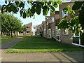
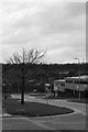
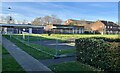
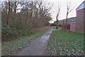
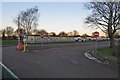
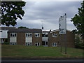
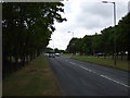
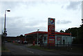
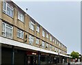
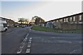
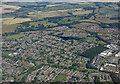
13 photos from this area
Area Information
Key information about the SG1 4PH including its size, population, and administrative classification.
- Area Type
- Postcode
- Area Size
- 5652 m²
- Population
- 1812
- Population Density
- 7849 people/km²
House Prices in SG1 4PH
19
Properties
£185,283
Average Sold Price
£45,000
Lowest Price
£328,000
Highest Price
Showing 19 properties
| Address | Type | Beds | Baths | Last Sale Price | Last Sale Date | |
|---|---|---|---|---|---|---|
| 78 Southwark Close, Stevenage, SG1 4PH | house | 3 | 1 | £311,000 | Jun 2025 | |
| 82 Southwark Close, Stevenage, SG1 4PH | house | - | - | £328,000 | Sep 2022 | |
| 90 Southwark Close, Stevenage, SG1 4PH | Terraced | 3 | 1 | £250,000 | Aug 2018 | |
| 80 Southwark Close, Stevenage, SG1 4PH | Terraced | 4 | 2 | £259,723 | May 2018 | |
| 92 Southwark Close, Stevenage, SG1 4PH | Terraced | 2 | - | £230,000 | Dec 2015 | |
| 83 Southwark Close, Stevenage, SG1 4PH | Terraced | - | - | £183,990 | Mar 2014 | |
| 77 Southwark Close, Stevenage, SG1 4PH | Terraced | 3 | 1 | £165,000 | Oct 2012 | |
| 79 Southwark Close, Stevenage, SG1 4PH | house | - | - | £135,000 | Sep 2008 | |
| 86 Southwark Close, Stevenage, SG1 4PH | Terraced | - | - | £183,750 | Aug 2007 | |
| 88 Southwark Close, Stevenage, SG1 4PH | Terraced | - | - | £141,000 | Sep 2006 |
Page 1 of 2
Energy Efficiency in SG1 4PH
Amenities
Schools
| Rank | School | Type | Entry gender | Ages |
|---|
Explore more schools in this area
Go to Schools tabDemographics
Household Size
Family (3-5 people)
most common
Accommodation Type
Houses
most common
Tenure
60
majority
Ethnic Group
White
most common
Religion
N/A
most common
Household Composition
N/A
most common
Age
47
median
Adults (30-64 years)
most common
Household Deprivation
N/A
with no deprivation
NS-SEC
28
in Lower managerial occupations
Explore more demographic insights in this area
Go to Demographics tabPlanning
Planning Constraints
- Flood RiskPremium
- Ramsar Wetland SitesPremium
- Area of Outstanding Natural BeautyPremium
- Protected Nature ReservePremium
- Protected WoodlandPremium