Area Overview for SG1 4NX
Photos of SG1 4NX
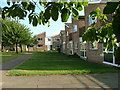
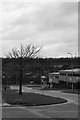
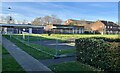
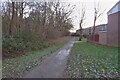
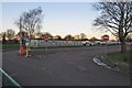
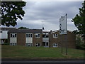
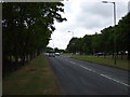
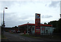
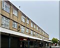
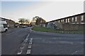
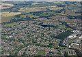

13 photos from this area
Area Information
Key information about the SG1 4NX including its size, population, and administrative classification.
- Area Type
- Postcode
- Area Size
- 9605 m²
- Population
- 1812
- Population Density
- 7849 people/km²
House Prices in SG1 4NX
21
Properties
£175,231
Average Sold Price
£53,000
Lowest Price
£317,500
Highest Price
Showing 21 properties
| Address | Type | Beds | Baths | Last Sale Price | Last Sale Date | |
|---|---|---|---|---|---|---|
| 30 Norwich Close, Stevenage, SG1 4NX | house | 4 | - | £225,000 | Apr 2022 | |
| 29 Norwich Close, Stevenage, SG1 4NX | house | - | - | £317,500 | Apr 2020 | |
| 28 Norwich Close, Stevenage, SG1 4NX | Terraced | 3 | 1 | £240,000 | Jan 2020 | |
| 39 Norwich Close, Stevenage, SG1 4NX | Terraced | - | - | £252,000 | Sep 2019 | |
| 34 Norwich Close, Stevenage, SG1 4NX | house | 3 | - | £265,000 | Mar 2019 | |
| 32 Norwich Close, Stevenage, SG1 4NX | house | 3 | - | £150,000 | Jan 2012 | |
| 33 Norwich Close, Stevenage, SG1 4NX | house | - | - | £155,000 | Oct 2007 | |
| 24 Norwich Close, Stevenage, SG1 4NX | Terraced | 2 | 1 | £155,000 | Jul 2007 | |
| 26 Norwich Close, Stevenage, SG1 4NX | house | 3 | 2 | £152,000 | Aug 2006 | |
| 38 Norwich Close, Stevenage, SG1 4NX | Terraced | - | - | £129,000 | May 2003 |
Page 1 of 3
Energy Efficiency in SG1 4NX
Amenities
Schools
| Rank | School | Type | Entry gender | Ages |
|---|
Explore more schools in this area
Go to Schools tabDemographics
Household Size
Family (3-5 people)
most common
Accommodation Type
Houses
most common
Tenure
60
majority
Ethnic Group
White
most common
Religion
N/A
most common
Household Composition
N/A
most common
Age
47
median
Adults (30-64 years)
most common
Household Deprivation
N/A
with no deprivation
NS-SEC
28
in Lower managerial occupations
Explore more demographic insights in this area
Go to Demographics tabPlanning
Planning Constraints
- Flood RiskPremium
- Ramsar Wetland SitesPremium
- Area of Outstanding Natural BeautyPremium
- Protected Nature ReservePremium
- Protected WoodlandPremium