Area Overview for SG1 4EQ
Photos of SG1 4EQ
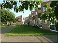
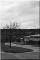
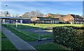
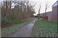
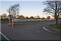
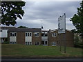
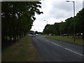
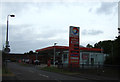
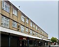
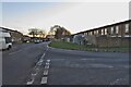
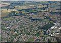
13 photos from this area
Area Information
Key information about the SG1 4EQ including its size, population, and administrative classification.
- Area Type
- Postcode
- Area Size
- 1.4 hectares
- Population
- 1728
- Population Density
- 8875 people/km²
House Prices in SG1 4EQ
52
Properties
£174,490
Average Sold Price
£53,500
Lowest Price
£325,000
Highest Price
Showing 52 properties
| Address | Type | Beds | Baths | Last Sale Price | Last Sale Date | |
|---|---|---|---|---|---|---|
| 495 Canterbury Way, Stevenage, SG1 4EQ | Terraced | 4 | 1 | £325,000 | May 2025 | |
| 429 Canterbury Way, Stevenage, SG1 4EQ | house | 3 | 2 | £315,000 | Aug 2023 | |
| 491 Canterbury Way, Stevenage, SG1 4EQ | Terraced | 4 | 1 | £301,500 | Jan 2023 | |
| 489 Canterbury Way, Stevenage, SG1 4EQ | house | 3 | 1 | £272,500 | Sep 2021 | |
| 467 Canterbury Way, Stevenage, SG1 4EQ | Maisonette | 2 | 1 | £195,000 | May 2021 | |
| 437 Canterbury Way, Stevenage, SG1 4EQ | house | - | - | £250,000 | Mar 2021 | |
| 497 Canterbury Way, Stevenage, SG1 4EQ | Terraced | 4 | 1 | £298,000 | Jun 2020 | |
| 463 Canterbury Way, Stevenage, SG1 4EQ | Maisonette | - | - | £155,000 | Jul 2016 | |
| 499 Canterbury Way, Stevenage, SG1 4EQ | Terraced | 4 | 1 | £250,000 | Jun 2016 | |
| 519 Canterbury Way, Stevenage, SG1 4EQ | Flat | 1 | 1 | £202,000 | Mar 2016 |
Page 1 of 6
Energy Efficiency in SG1 4EQ
Amenities
Schools
| Rank | School | Type | Entry gender | Ages |
|---|
Explore more schools in this area
Go to Schools tabDemographics
Household Size
Family (3-5 people)
most common
Accommodation Type
Houses
most common
Tenure
52
majority
Ethnic Group
White
most common
Religion
N/A
most common
Household Composition
N/A
most common
Age
47
median
Adults (30-64 years)
most common
Household Deprivation
N/A
with no deprivation
NS-SEC
26
in Lower managerial occupations
Explore more demographic insights in this area
Go to Demographics tabPlanning
Planning Constraints
- Flood RiskPremium
- Ramsar Wetland SitesPremium
- Area of Outstanding Natural BeautyPremium
- Protected Nature ReservePremium
- Protected WoodlandPremium