Area Overview for SG1 3AP
Photos of SG1 3AP
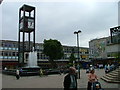
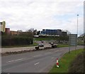

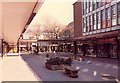
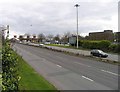
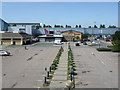
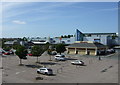
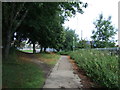
100 photos from this area
Area Information
Key information about the SG1 3AP including its size, population, and administrative classification.
- Area Type
- Postcode
- Area Size
- 1891 m²
- Population
- 2302
- Population Density
- 4934 people/km²
House Prices in SG1 3AP
20
Properties
£201,150
Average Sold Price
£139,000
Lowest Price
£295,000
Highest Price
Showing 20 properties
| Address | Type | Beds | Baths | Last Sale Price | Last Sale Date | |
|---|---|---|---|---|---|---|
| 3 Townsend Mews, Stevenage, SG1 3AP | Flat | 1 | 1 | £215,000 | Oct 2025 | |
| 13 Townsend Mews, Stevenage, SG1 3AP | Flat | - | - | £240,000 | Apr 2024 | |
| 20 Townsend Mews, Stevenage, SG1 3AP | Flat | - | - | £260,000 | Feb 2022 | |
| 9 Townsend Mews, Stevenage, SG1 3AP | Flat | - | - | £190,000 | May 2020 | |
| 15 Townsend Mews, Stevenage, SG1 3AP | Flat | 2 | 2 | £295,000 | Mar 2018 | |
| 19 Townsend Mews, Stevenage, SG1 3AP | Flat | 2 | 2 | £250,000 | Nov 2017 | |
| 7 Townsend Mews, Stevenage, SG1 3AP | Flat | - | - | £183,000 | Mar 2015 | |
| 17 Townsend Mews, Stevenage, SG1 3AP | Flat | - | - | £182,950 | Feb 2014 | |
| 4 Townsend Mews, Stevenage, SG1 3AP | Flat | - | - | £163,000 | Jul 2013 | |
| 6 Townsend Mews, Stevenage, SG1 3AP | Flat | - | - | £167,000 | Oct 2012 |
Page 1 of 2
Energy Efficiency in SG1 3AP
Amenities
Schools
| Rank | School | Type | Entry gender | Ages |
|---|
Explore more schools in this area
Go to Schools tabDemographics
Household Size
One person
most common
Accommodation Type
Flats
most common
Tenure
42
majority
Ethnic Group
White
most common
Religion
N/A
most common
Household Composition
N/A
most common
Age
47
median
Adults (30-64 years)
most common
Household Deprivation
N/A
with no deprivation
NS-SEC
37
in Lower managerial occupations
Explore more demographic insights in this area
Go to Demographics tabPlanning
Planning Constraints
- Flood RiskPremium
- Ramsar Wetland SitesPremium
- Area of Outstanding Natural BeautyPremium
- Protected Nature ReservePremium
- Protected WoodlandPremium