Area Overview for SG1 1BP
Photos of SG1 1BP
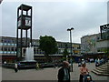
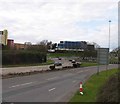
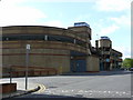
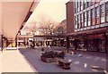
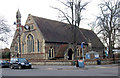
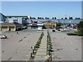
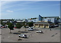
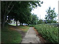
100 photos from this area
Area Information
Key information about the SG1 1BP including its size, population, and administrative classification.
- Area Type
- Postcode
- Area Size
- 1.6 hectares
- Population
- 1280
- Population Density
- 1742 people/km²
House Prices in SG1 1BP
12
Properties
-
Average Sold Price
-
Lowest Price
-
Highest Price
Showing 12 properties
| Address | Type | Beds | Baths | Last Sale Price | Last Sale Date | |
|---|---|---|---|---|---|---|
| Pitch 13 And 14, Queensway, Stevenage, SG1 1BP | commercial | - | - | - | - | |
| Public Conveniences, Town Square, Stevenage, SG1 1BP | commercial | - | - | - | - | |
| Suite 25, Town Square Chambers, 15 Town Square, Stevenage, SG1 1BP | Office | - | - | - | - | |
| Flat A, 1 Town Square, Stevenage, SG1 1BP | Flat | - | - | - | - | |
| Central Bus Station, Danestrete, Stevenage, SG1 1BP | commercial | - | - | - | - | |
| Stevenage Wellbeing Centre, 13A Town Square, Stevenage, SG1 1BP | Office | - | - | - | - | |
| Suite 22, Town Square Chambers, 15 Town Square, Stevenage, SG1 1BP | Office | - | - | - | - | |
| Flat B, 1 Town Square, Stevenage, SG1 1BP | Flat | - | - | - | - | |
| Suite 23, Town Square Chambers, 15 Town Square, Stevenage, SG1 1BP | Office | - | - | - | - | |
| Healey Colborn Solicitors, First Floor Office, Town Square Chambers, 15 Town Square, Stevenage, SG1 1BP | Office | - | - | - | - |
Page 1 of 2
Energy Efficiency in SG1 1BP
Amenities
Schools
| Rank | School | Type | Entry gender | Ages |
|---|
Explore more schools in this area
Go to Schools tabDemographics
Household Size
One person
most common
Accommodation Type
Flats
most common
Tenure
37
majority
Ethnic Group
White
most common
Religion
N/A
most common
Household Composition
N/A
most common
Age
47
median
Adults (30-64 years)
most common
Household Deprivation
N/A
with no deprivation
NS-SEC
39
in Lower managerial occupations
Explore more demographic insights in this area
Go to Demographics tabPlanning
Planning Constraints
- Flood RiskPremium
- Ramsar Wetland SitesPremium
- Area of Outstanding Natural BeautyPremium
- Protected Nature ReservePremium
- Protected WoodlandPremium