Area Overview for Ryston
Photos of Ryston
Area Information
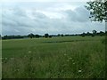
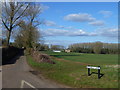
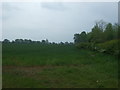
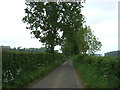
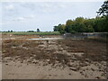
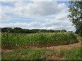
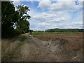
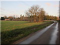
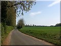
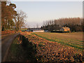
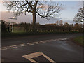
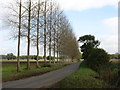
Ryston occupies a distinct space as a civil parish in England, covering a total area of 9.4 square kilometres. This compact settlement caters to those seeking quiet rural living rather than urban density. You will find a location that prioritises space and tranquility over high-speed infrastructure. The local environment is defined by manageable boundaries, meaning daily commutes and local excursions take place within a clearly defined geographical setting. You approach living in Ryston knowing that the physical footprint of the community is manageable and self-contained. The sheer size of the parish does not create a sprawling experience but rather a focused neighbourhood identity. Residents navigate an area where distances are short and the landscape remains consistent. You can walk many parts of your surroundings without needing extensive travel. This compactness suits those who value a secluded lifestyle without the logistical complications of larger districts. You buy into a parish where the scale of the environment matches a slower pace of life. The area presents a straightforward prospect for homebuyers looking for specific local characteristics. There are no hidden complexities regarding land classification beyond what is explicitly recorded. You purchase a home in a defined jurisdiction that operates with clear boundaries. The focus here is on established, well-defined living spaces. Your daily reality involves navigating a small, coherent district where the local amenities and roads are close at hand.
- Area Type
- Parish
- Area Size
- 9.4 km²
- Population
- Not available
- Population Density
- Not available
Demographics
The community profile of Ryston reveals a population with a significant lean towards older residents. The median age stands at 70 years, indicating a demographic dominated by retirees and older adults. This age profile shapes the social rhythm of the area, suggesting you will encounter a quiet atmosphere defined by mature residents. Most common age data indicates the general population cluster sits firmly in this older bracket. You are living among neighbours who have likely settled in the parish for many years. Home ownership dominates the housing landscape, with 71% of residents owning their properties outright or with a mortgage. This high rate of ownership implies a stable, long-term community where families and individuals build roots rather than cycling through rentals quickly. You will find a neighbourhood where people treat their local homes as permanent residences. The low proportion of renters reflects a market where ownership is the primary path to staying in the area. Household composition data suggests a traditional settlement pattern where families or individuals remain in one location. You can expect a community where long-standing ties to the locality are the norm. The demographic data paints a picture of stability rather than the transient nature found in major city hubs. You are buying into an established social structure where residents value tenure and familiarity. The 71% ownership rate confirms that most people are invested in the parish's future rather than viewing it as a temporary stop.
Household Size
Accommodation Type
Tenure
Ethnic Group
Religion
Household Composition
Age
Household Deprivation
NS-SEC
Explore more demographic insights in this area
Go to Demographics tabPlanning
Planning Constraints
- Flood RiskPremium
- Ramsar Wetland SitesPremium
- Area of Outstanding Natural BeautyPremium
- Protected Nature ReservePremium
- Protected WoodlandPremium
- Crime RiskPremium