Area Overview for RM17 6SS
Photos of RM17 6SS
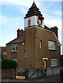
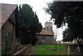
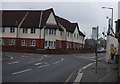
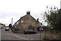
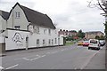
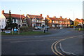
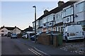
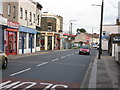
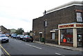
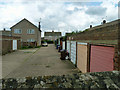
69 photos from this area
Area Information
Key information about the RM17 6SS including its size, population, and administrative classification.
- Area Type
- Postcode
- Area Size
- 1.0 hectares
- Population
- 1834
- Population Density
- 3916 people/km²
House Prices in RM17 6SS
41
Properties
£184,400
Average Sold Price
£21,000
Lowest Price
£310,000
Highest Price
Showing 41 properties
| Address | Type | Beds | Baths | Last Sale Price | Last Sale Date | |
|---|---|---|---|---|---|---|
| 44 Whitehall Lane, Grays, RM17 6SS | Terraced | 3 | 1 | £310,000 | Mar 2025 | |
| 10 Whitehall Lane, Grays, RM17 6SS | Terraced | 2 | 1 | £290,000 | Nov 2024 | |
| 26 Whitehall Lane, Grays, RM17 6SS | Terraced | - | - | £225,000 | Mar 2022 | |
| 24 Whitehall Lane, Grays, RM17 6SS | house | 2 | 1 | £240,000 | Mar 2022 | |
| 54 Whitehall Lane, Grays, RM17 6SS | Terraced | 2 | - | £265,000 | Jul 2020 | |
| 56 Whitehall Lane, Grays, RM17 6SS | Terraced | 2 | 1 | £265,000 | Nov 2019 | |
| 58 Whitehall Lane, Grays, RM17 6SS | Terraced | 3 | 1 | £275,000 | Jul 2019 | |
| 6 Whitehall Lane, Grays, RM17 6SS | Terraced | 2 | 1 | £21,000 | Mar 2019 | |
| 8A Whitehall Lane, Grays, RM17 6SS | Flat | 1 | 1 | £165,000 | Feb 2019 | |
| 32 Whitehall Lane, Grays, RM17 6SS | Terraced | 2 | 2 | £235,000 | Nov 2018 |
Page 1 of 5
Energy Efficiency in RM17 6SS
Amenities
Schools
| Rank | School | Type | Entry gender | Ages |
|---|
Explore more schools in this area
Go to Schools tabDemographics
Household Size
Family (3-5 people)
most common
Accommodation Type
Houses
most common
Tenure
67
majority
Ethnic Group
White
most common
Religion
N/A
most common
Household Composition
N/A
most common
Age
47
median
Adults (30-64 years)
most common
Household Deprivation
N/A
with no deprivation
NS-SEC
28
in Lower managerial occupations
Explore more demographic insights in this area
Go to Demographics tabPlanning
Planning Constraints
- Flood RiskPremium
- Ramsar Wetland SitesPremium
- Area of Outstanding Natural BeautyPremium
- Protected Nature ReservePremium
- Protected WoodlandPremium