Area Overview for RM17 6DQ
Photos of RM17 6DQ
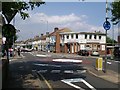
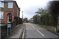
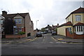
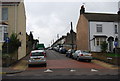
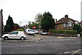
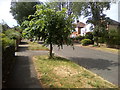
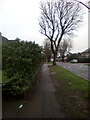
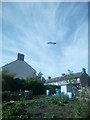
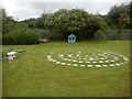
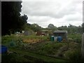
63 photos from this area
Area Information
Key information about the RM17 6DQ including its size, population, and administrative classification.
- Area Type
- Postcode
- Area Size
- 1.2 hectares
- Population
- 1655
- Population Density
- 8201 people/km²
House Prices in RM17 6DQ
66
Properties
£209,279
Average Sold Price
£43,800
Lowest Price
£353,999
Highest Price
Showing 66 properties
| Address | Type | Beds | Baths | Last Sale Price | Last Sale Date | |
|---|---|---|---|---|---|---|
| 24 Salisbury Road, Grays, RM17 6DQ | Terraced | 2 | 1 | £300,000 | Nov 2025 | |
| 30 Salisbury Road, Grays, RM17 6DQ | Terraced | 2 | 1 | £253,000 | Sep 2025 | |
| 26 Salisbury Road, Grays, RM17 6DQ | Terraced | 2 | 1 | £285,000 | Jun 2025 | |
| 82 Salisbury Road, Grays, RM17 6DQ | Terraced | 2 | 1 | £290,000 | Apr 2025 | |
| 34 Salisbury Road, Grays, RM17 6DQ | Terraced | 2 | 1 | £220,000 | Mar 2025 | |
| 110 Salisbury Road, Grays, RM17 6DQ | Terraced | 3 | 1 | £353,999 | Sep 2024 | |
| 80 Salisbury Road, Grays, RM17 6DQ | Terraced | 2 | - | £247,000 | Jul 2024 | |
| 118 Salisbury Road, Grays, RM17 6DQ | Terraced | 3 | 1 | £340,000 | Jul 2023 | |
| 38 Salisbury Road, Grays, RM17 6DQ | house | 3 | 1 | £325,000 | Mar 2023 | |
| 100 Salisbury Road, Grays, RM17 6DQ | house | - | - | £303,000 | Sep 2021 |
Page 1 of 7
Energy Efficiency in RM17 6DQ
Amenities
Schools
| Rank | School | Type | Entry gender | Ages |
|---|
Explore more schools in this area
Go to Schools tabDemographics
Household Size
Family (3-5 people)
most common
Accommodation Type
Houses
most common
Tenure
67
majority
Ethnic Group
White
most common
Religion
N/A
most common
Household Composition
N/A
most common
Age
47
median
Adults (30-64 years)
most common
Household Deprivation
N/A
with no deprivation
NS-SEC
25
in Lower managerial occupations
Explore more demographic insights in this area
Go to Demographics tabPlanning
Planning Constraints
- Flood RiskPremium
- Ramsar Wetland SitesPremium
- Area of Outstanding Natural BeautyPremium
- Protected Nature ReservePremium
- Protected WoodlandPremium