Area Overview for RM16 6ES
Photos of RM16 6ES
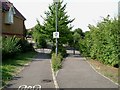
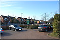


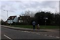
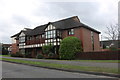
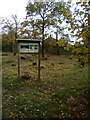
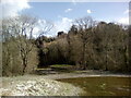
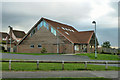
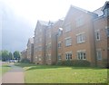
34 photos from this area
Area Information
Key information about the RM16 6ES including its size, population, and administrative classification.
- Area Type
- Postcode
- Area Size
- 1.3 hectares
- Population
- 1850
- Population Density
- 8417 people/km²
House Prices in RM16 6ES
33
Properties
£399,553
Average Sold Price
£247,950
Lowest Price
£642,000
Highest Price
Showing 33 properties
| Address | Type | Beds | Baths | Last Sale Price | Last Sale Date | |
|---|---|---|---|---|---|---|
| 14 Dove Close, Chafford Hundred, Grays, RM16 6ES | Detached | 5 | 3 | £642,000 | Aug 2024 | |
| 33 Dove Close, Chafford Hundred, Grays, RM16 6ES | Detached | 4 | 2 | £600,000 | Jul 2023 | |
| 13 Dove Close, Chafford Hundred, Grays, RM16 6ES | house | 5 | - | £625,000 | Jun 2021 | |
| 32 Dove Close, Chafford Hundred, Grays, RM16 6ES | house | - | - | £585,000 | Apr 2021 | |
| 3 Dove Close, Chafford Hundred, Grays, RM16 6ES | house | - | - | £515,000 | Mar 2021 | |
| 4 Dove Close, Chafford Hundred, Grays, RM16 6ES | Detached | 4 | 2 | £520,000 | Apr 2020 | |
| 12 Dove Close, Chafford Hundred, Grays, RM16 6ES | Detached | 5 | 3 | £537,000 | Aug 2017 | |
| 29 Dove Close, Chafford Hundred, Grays, RM16 6ES | house | - | - | £542,500 | Jan 2017 | |
| 6 Dove Close, Chafford Hundred, Grays, RM16 6ES | Detached | 4 | 1 | £450,000 | Mar 2016 | |
| 24 Dove Close, Chafford Hundred, Grays, RM16 6ES | Detached | 5 | 4 | £435,000 | Dec 2015 |
Page 1 of 4
Energy Efficiency in RM16 6ES
Amenities
Schools
| Rank | School | Type | Entry gender | Ages |
|---|
Explore more schools in this area
Go to Schools tabDemographics
Household Size
Family (3-5 people)
most common
Accommodation Type
Houses
most common
Tenure
81
majority
Ethnic Group
White
most common
Religion
N/A
most common
Household Composition
N/A
most common
Age
47
median
Adults (30-64 years)
most common
Household Deprivation
N/A
with no deprivation
NS-SEC
39
in Lower managerial occupations
Explore more demographic insights in this area
Go to Demographics tabPlanning
Planning Constraints
- Flood RiskPremium
- Ramsar Wetland SitesPremium
- Area of Outstanding Natural BeautyPremium
- Protected Nature ReservePremium
- Protected WoodlandPremium