Area Overview for RM16 4LR
Photos of RM16 4LR

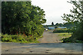
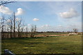
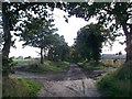
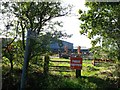

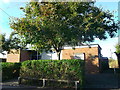
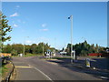
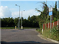
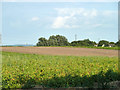
10 photos from this area
Area Information
Key information about the RM16 4LR including its size, population, and administrative classification.
- Area Type
- Postcode
- Area Size
- 12.7 hectares
- Population
- 1787
- Population Density
- 244 people/km²
House Prices in RM16 4LR
22
Properties
£373,773
Average Sold Price
£153,500
Lowest Price
£793,000
Highest Price
Showing 22 properties
| Address | Type | Beds | Baths | Last Sale Price | Last Sale Date | |
|---|---|---|---|---|---|---|
| 4 Sandy Lane, Chadwell St Mary, RM16 4LR | Detached | 3 | 1 | £330,000 | Dec 2023 | |
| The Gables, Sandy Lane, Chadwell St Mary, RM16 4LR | Detached | 4 | 3 | £793,000 | Aug 2023 | |
| 6 Sandy Lane, Chadwell St Mary, RM16 4LR | Retail | 4 | 2 | £430,000 | Feb 2022 | |
| Sunspan, Sandy Lane, Chadwell St Mary, RM16 4LR | Detached | 4 | 1 | £485,000 | Oct 2020 | |
| Carousel, Sandy Lane, Chadwell St Mary, RM16 4LR | Detached | 4 | 2 | £360,000 | Apr 2020 | |
| Ferndale, Sandy Lane, Chadwell St Mary, RM16 4LR | Detached | 3 | 1 | £280,000 | Jul 2018 | |
| Sunray, Sandy Lane, Chadwell St Mary, RM16 4LR | Semi-detached | 2 | 1 | £250,000 | Jul 2016 | |
| Tornello, Sandy Lane, Chadwell St Mary, RM16 4LR | Detached | 4 | 1 | £330,000 | Sep 2014 | |
| Coppy Hall, Sandy Lane, Chadwell St Mary, RM16 4LR | Bungalow | 4 | 2 | £470,000 | May 2014 | |
| Zenith, Sandy Lane, Chadwell St Mary, RM16 4LR | house | - | - | £230,000 | Jul 2006 |
Page 1 of 3
Energy Efficiency in RM16 4LR
Amenities
Schools
| Rank | School | Type | Entry gender | Ages |
|---|
Explore more schools in this area
Go to Schools tabDemographics
Household Size
Family (3-5 people)
most common
Accommodation Type
Houses
most common
Tenure
83
majority
Ethnic Group
White
most common
Religion
N/A
most common
Household Composition
N/A
most common
Age
47
median
Adults (30-64 years)
most common
Household Deprivation
N/A
with no deprivation
NS-SEC
28
in Lower managerial occupations
Explore more demographic insights in this area
Go to Demographics tabPlanning
Planning Constraints
- Flood RiskPremium
- Ramsar Wetland SitesPremium
- Area of Outstanding Natural BeautyPremium
- Protected Nature ReservePremium
- Protected WoodlandPremium