Area Overview for RM16 3GZ
Photos of RM16 3GZ
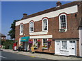
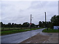
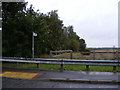
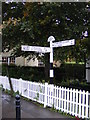
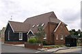
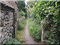
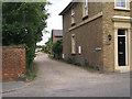
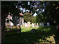
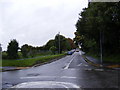
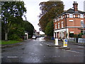
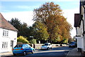
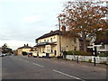
40 photos from this area
Area Information
Key information about the RM16 3GZ including its size, population, and administrative classification.
- Area Type
- Postcode
- Area Size
- 4317 m²
- Population
- 1928
- Population Density
- 422 people/km²
House Prices in RM16 3GZ
15
Properties
£317,556
Average Sold Price
£165,000
Lowest Price
£499,995
Highest Price
Showing 15 properties
| Address | Type | Beds | Baths | Last Sale Price | Last Sale Date | |
|---|---|---|---|---|---|---|
| 3 Medbree Court, Orsett, RM16 3GZ | Terraced | 3 | 1 | £425,000 | Jul 2022 | |
| 1 Medbree Court, Orsett, RM16 3GZ | house | - | - | £417,000 | Jun 2021 | |
| 16 Medbree Court, Orsett, RM16 3GZ | Terraced | 3 | 2 | £373,000 | Mar 2021 | |
| 6 Medbree Court, Orsett, RM16 3GZ | Semi-detached | 4 | 2 | £400,000 | Jan 2020 | |
| 14 Medbree Court, Orsett, RM16 3GZ | Terraced | 4 | 1 | £340,000 | Nov 2017 | |
| 9 Medbree Court, Orsett, RM16 3GZ | house | 4 | - | £315,000 | Feb 2014 | |
| 20 Medbree Court, Orsett, RM16 3GZ | Flat | - | - | £165,000 | Oct 2006 | |
| 12 Medbree Court, Orsett, RM16 3GZ | Terraced | - | - | £250,000 | Dec 2005 | |
| 10 Medbree Court, Orsett, RM16 3GZ | Flat | - | - | £166,245 | Nov 2005 | |
| 5 Medbree Court, Orsett, RM16 3GZ | Terraced | - | - | £239,995 | Nov 2005 |
Page 1 of 2
Energy Efficiency in RM16 3GZ
Amenities
Schools
| Rank | School | Type | Entry gender | Ages |
|---|
Explore more schools in this area
Go to Schools tabDemographics
Household Size
Family (3-5 people)
most common
Accommodation Type
Houses
most common
Tenure
73
majority
Ethnic Group
White
most common
Religion
N/A
most common
Household Composition
N/A
most common
Age
47
median
Adults (30-64 years)
most common
Household Deprivation
N/A
with no deprivation
NS-SEC
36
in Lower managerial occupations
Explore more demographic insights in this area
Go to Demographics tabPlanning
Planning Constraints
- Flood RiskPremium
- Ramsar Wetland SitesPremium
- Area of Outstanding Natural BeautyPremium
- Protected Nature ReservePremium
- Protected WoodlandPremium