Area Overview for RM16 2GY
Photos of RM16 2GY
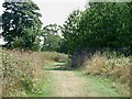
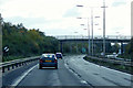
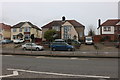
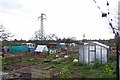
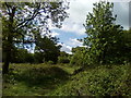
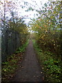
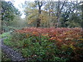
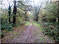

46 photos from this area
Area Information
Key information about the RM16 2GY including its size, population, and administrative classification.
- Area Type
- Postcode
- Area Size
- 1.6 hectares
- Population
- 2626
- Population Density
- 2886 people/km²
House Prices in RM16 2GY
37
Properties
£262,860
Average Sold Price
£81,995
Lowest Price
£460,000
Highest Price
Showing 37 properties
| Address | Type | Beds | Baths | Last Sale Price | Last Sale Date | |
|---|---|---|---|---|---|---|
| 29 Crofton Road, Grays, RM16 2GY | Bungalow | 3 | 1 | £420,000 | Feb 2024 | |
| 17 Crofton Road, Grays, RM16 2GY | Bungalow | - | - | £430,000 | Jan 2021 | |
| 21 Crofton Road, Grays, RM16 2GY | Bungalow | - | - | £329,995 | Dec 2020 | |
| 65 Crofton Road, Grays, RM16 2GY | Semi-detached | 5 | 2 | £460,000 | Nov 2020 | |
| 67 Crofton Road, Grays, RM16 2GY | Semi-detached | 4 | 2 | £400,000 | Sep 2020 | |
| 69 Crofton Road, Grays, RM16 2GY | Semi-detached | 4 | 2 | £420,000 | Feb 2020 | |
| 41 Crofton Road, Grays, RM16 2GY | house | 3 | - | £356,000 | Aug 2018 | |
| 35 Crofton Road, Grays, RM16 2GY | Semi-detached | 3 | 1 | £350,000 | Jul 2017 | |
| 37 Crofton Road, Grays, RM16 2GY | Semi-detached | 3 | 1 | £340,000 | Sep 2016 | |
| 15 Crofton Road, Grays, RM16 2GY | Semi-detached | - | - | £275,000 | Mar 2016 |
Page 1 of 4
Energy Efficiency in RM16 2GY
Amenities
Schools
| Rank | School | Type | Entry gender | Ages |
|---|
Explore more schools in this area
Go to Schools tabDemographics
Household Size
Family (3-5 people)
most common
Accommodation Type
Houses
most common
Tenure
89
majority
Ethnic Group
White
most common
Religion
N/A
most common
Household Composition
N/A
most common
Age
47
median
Adults (30-64 years)
most common
Household Deprivation
N/A
with no deprivation
NS-SEC
36
in Lower managerial occupations
Explore more demographic insights in this area
Go to Demographics tabPlanning
Planning Constraints
- Flood RiskPremium
- Ramsar Wetland SitesPremium
- Area of Outstanding Natural BeautyPremium
- Protected Nature ReservePremium
- Protected WoodlandPremium