Area Overview for RM15 6AR
Photos of RM15 6AR
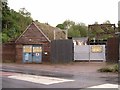
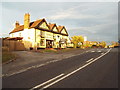
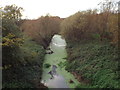
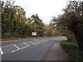
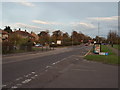

79 photos from this area
Area Information
Key information about the RM15 6AR including its size, population, and administrative classification.
- Area Type
- Postcode
- Area Size
- 7027 m²
- Population
- 1839
- Population Density
- 3537 people/km²
House Prices in RM15 6AR
39
Properties
£146,719
Average Sold Price
£28,000
Lowest Price
£345,000
Highest Price
Showing 39 properties
| Address | Type | Beds | Baths | Last Sale Price | Last Sale Date | |
|---|---|---|---|---|---|---|
| 69 Corran Way, South Ockendon, RM15 6AR | Terraced | 2 | 1 | £340,000 | May 2024 | |
| 65 Corran Way, South Ockendon, RM15 6AR | Terraced | 3 | 2 | £345,000 | Aug 2021 | |
| 59 Corran Way, South Ockendon, RM15 6AR | Flat | - | - | £186,000 | Dec 2019 | |
| 29 Corran Way, South Ockendon, RM15 6AR | Flat | - | - | £125,000 | Nov 2019 | |
| 51 Corran Way, South Ockendon, RM15 6AR | Flat | - | - | £86,000 | Dec 2013 | |
| 7 Corran Way, South Ockendon, RM15 6AR | house | 2 | - | £160,000 | Oct 2013 | |
| 61 Corran Way, South Ockendon, RM15 6AR | Flat | 3 | 1 | £134,000 | Jun 2008 | |
| 9 Corran Way, South Ockendon, RM15 6AR | Terraced | - | - | £153,000 | Feb 2007 | |
| 25 Corran Way, South Ockendon, RM15 6AR | Flat | - | - | £115,000 | Aug 2006 | |
| 43 Corran Way, South Ockendon, RM15 6AR | Flat | - | - | £86,500 | Aug 2006 |
Page 1 of 4
Energy Efficiency in RM15 6AR
Amenities
Schools
| Rank | School | Type | Entry gender | Ages |
|---|
Explore more schools in this area
Go to Schools tabDemographics
Household Size
Family (3-5 people)
most common
Accommodation Type
Houses
most common
Tenure
64
majority
Ethnic Group
White
most common
Religion
N/A
most common
Household Composition
N/A
most common
Age
47
median
Adults (30-64 years)
most common
Household Deprivation
N/A
with no deprivation
NS-SEC
24
in Lower managerial occupations
Explore more demographic insights in this area
Go to Demographics tabPlanning
Planning Constraints
- Flood RiskPremium
- Ramsar Wetland SitesPremium
- Area of Outstanding Natural BeautyPremium
- Protected Nature ReservePremium
- Protected WoodlandPremium