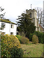
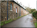
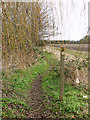
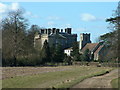
Area Overview for Riddlesworth
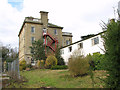
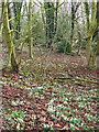
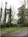
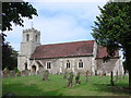
Photos of Riddlesworth
Area Information
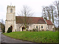
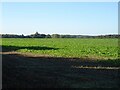
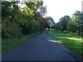
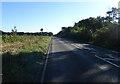
Riddlesworth is a civil parish situated in the county of Norfolk, covering a total area of 8.3 square kilometres. Living in Riddlesworth means residing in a village-scale settlement that prioritises quietude and established community structures over high-density urban living. The parish functions as a distinct local entity, offering residents a sense of place defined by its boundaries and local governance. You will find a neighbourhood where daily life revolves around proximity to green spaces and low-traffic routes rather than city centre commuting. The locality is characterised by a static population, with no recent shifts in size indicated, suggesting a stable environment where families and long-term residents maintain continuity. This area appeals to those seeking a traditional rural or semi-rural existence, where the pace of life is deliberately measured. The civil parish structure indicates that local decision-making remains close to the ground, which is central to the identity of homes in Riddlesworth. You approach this location with an understanding that it offers modest expansion potential, limited by its fixed geographical footprint. The village atmosphere is practical; it is a setting where you know your neighbours, manage your daily routine with minimal traffic congestion, and value the specific layout of 8.3 square kilometres of land.
- Area Type
- Parish
- Area Size
- 8.3 km²
- Population
- Not available
- Population Density
- Not available
Demographics
The demographic profile of Riddlesworth reveals a community dominated by older generations. Anyone considering homes in Riddlesworth should note that the median age is 70, indicating that the street scene is defined by retirees rather than young families or professionals. While the area lacks a specific predominant age range breakdown in the records, the central tendency of 70 suggests a population that has transitioned from working life to retirement. This concentration shapes the local services and social rhythm, creating an environment adapted to the needs of seniors. Home ownership stands at 70%, a key metric for anyone looking to buy or move into the parish. This high rate signifies that the majority of residents are owner-occupiers who have invested in their properties and built equity over time. Consequently, the housing market is largely driven by lifetime buyers rather than housing associations or private landlords. The data does not provide specific figures for household composition or ethnic diversity, but the age profile implies a homogenous community of long-term settlers. You can expect a neighbourhood where stability outweighs transient hospitality, with residents deeply embedded in the local fabric for decades.
Household Size
Accommodation Type
Tenure
Ethnic Group
Religion
Household Composition
Age
Household Deprivation
NS-SEC
Explore more demographic insights in this area
Go to Demographics tabPlanning
Planning Constraints
- Flood RiskPremium
- Ramsar Wetland SitesPremium
- Area of Outstanding Natural BeautyPremium
- Protected Nature ReservePremium
- Protected WoodlandPremium
- Crime RiskPremium