Area Overview for Redenhall with Harleston
Photos of Redenhall with Harleston
Area Information
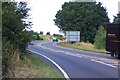
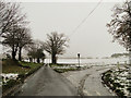
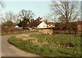
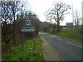
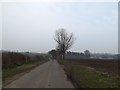
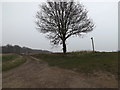
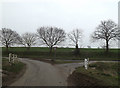
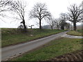
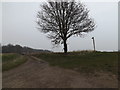
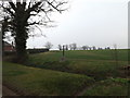
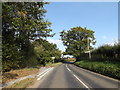
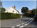
Living in Redenhall with Harleston offers a distinct lifestyle within a small civil parish of England. You will find yourself in a community surrounded by approximately 13.1 km² of land, which houses a total population of 2448 people. This results in a low-density living environment with an average of 187 people per square kilometre. The area is defined by its compact size and quiet character, making it suitable for those seeking space away from urban congestion. Daily life here revolves around neighbourhood tranquillity rather than high-speed commutes or city Centre noise. You are part of a traditional setting where rural silence and large open spaces dominate the surrounding landscape. The small population keeps the local community close-knit, fostering a sense of familiarity that is rare in larger towns. While the area lacks the commercial bustle of major cities, this simplicity ensures a peaceful existence for residents. You will notice a significant degree of quiet in Redenhall with Harleston, which appeals to buyers prioritising relaxation over convenience. The physical boundaries of the parish mean that everything is defined clearly, without the sprawling ambiguity found in some larger conurbations. Your address here places you firmly in a rural context where nature plays a central role in daily routines.
- Area Type
- Parish
- Area Size
- 13.1 km²
- Population
- 2448
- Population Density
- 187 people/km²
Demographics
The community within Redenhall with Harleston displays a very clear demographic profile, largely defined by an older resident base. The median age in the area stands at 70 years, indicating that the majority of households consist of senior citizens or retirees. This age distribution suggests that the local schools are not the primary feature of your daily life, as the population is skewed significantly towards the elderly demographic. You will likely encounter fewer young families compared to other areas of the country, which shapes the social fabric of the parish. Home ownership is a dominant factor in this neighbourhood, with 68% of residents owning their homes outright. This high rate suggests that most families have settled permanently rather than living as transient tenants. The low proportion of social housing aligns with the ownership statistic, reinforcing the idea that private investment is more common here. These figures paint a picture of a stable, settled community where long-term residency is the norm. The demographic makeup means that local services may be tailored to the needs of older adults, reflecting the high median age statistically recorded for the parish.
Household Size
Accommodation Type
Tenure
Ethnic Group
Religion
Household Composition
Age
Household Deprivation
NS-SEC
Explore more demographic insights in this area
Go to Demographics tabPlanning
Planning Constraints
- Flood RiskPremium
- Ramsar Wetland SitesPremium
- Area of Outstanding Natural BeautyPremium
- Protected Nature ReservePremium
- Protected WoodlandPremium
- Crime RiskPremium