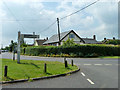
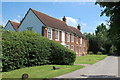
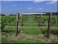
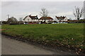
Area Overview for Purleigh
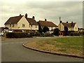
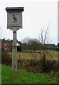
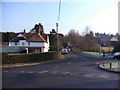
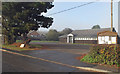
Photos of Purleigh


Area Information
Purleigh is a compact built-up area in England, spanning 25.7 hectares. Its population is characterised by a median age of 70, suggesting a community skewed toward older residents. This is reflected in the high home ownership rate of 80%, indicating a stable, long-term presence of residents. Living in Purleigh means navigating a small, cohesive environment where daily life is shaped by proximity to local amenities. The area’s size ensures a manageable footprint, with no sprawling suburbs or distant commutes. While it lacks the density of larger towns, its practical layout supports a quiet, low-maintenance lifestyle. Residents benefit from nearby schools, retail outlets, and rail connections, making it suitable for those prioritising convenience over urban vibrancy. Purleigh’s appeal lies in its simplicity: a place where community ties are strong, and the pace of life remains unhurried. For buyers seeking a settled, low-crime environment with accessible services, Purleigh offers a straightforward proposition.
- Area Type
- Built Up Area 250
- Area Size
- 25.7 hectares
- Population
- Not available
- Population Density
- Not available
Residents of Purleigh have access to a range of nearby amenities within practical reach. Retail options include Morrisons Maldon, East of England Co-operative Co, and M&S Maldon SF, offering everyday shopping needs. The area’s rail connections, such as North Fambridge and Althorne stations, provide easy access to broader regional networks. While the data does not mention parks or leisure facilities, the presence of multiple retail and transport hubs suggests a lifestyle focused on convenience and accessibility. The mix of shops and transport options supports a practical, low-effort daily routine, ideal for those prioritising ease of movement over sprawling recreational spaces.
Amenities
Schools
The nearest school to Purleigh is Purleigh Community Primary School, which serves the local primary education needs. This school has an Ofsted rating of “good”, reflecting its ability to deliver a satisfactory standard of teaching and student outcomes. As a primary school, it caters to younger children, though the data does not mention secondary education options in the immediate vicinity. Families relying on this school must consider the broader educational ecosystem, including proximity to secondary institutions. The presence of a well-rated primary school is a positive factor for those prioritising early education, but further research is needed to assess the full range of schooling available.
| Rank | School | Type | Entry gender | Ages |
|---|
Explore more schools in this area
Go to Schools tabDemographics
The population of Purleigh has a median age of 70, with the most common age range encompassing all demographics. Home ownership is high at 80%, suggesting a community of long-term residents rather than transient renters. The data does not specify household composition or accommodation types, but the overall profile points to a mature population with established living arrangements. There is no information on ethnic diversity or religious composition, so these aspects cannot be addressed. The absence of specific deprivation metrics means it is unclear how economic challenges might intersect with quality of life. However, the high home ownership rate implies financial stability for many residents. This demographic profile suggests a community where generational continuity is valued, and property is viewed as a long-term investment rather than a short-term asset.
Household Size
Accommodation Type
Tenure
Ethnic Group
Religion
Household Composition
Age
Household Deprivation
NS-SEC
Explore more demographic insights in this area
Go to Demographics tabPlanning
Planning Constraints
- Crime RiskPremium