Area Overview for Poringland, Framinghams & Trowse Ward
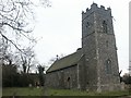
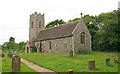
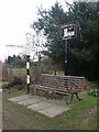
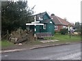
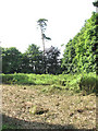
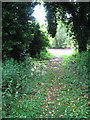
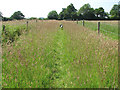
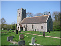
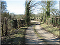
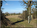
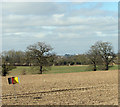
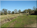
Photos of Poringland, Framinghams & Trowse Ward
Area Information
living in Poringland, Framinghams & Trowse Ward offers a distinct experience defined by compact land and a mature population. This district borough unitary ward covers an area of 27.9 km² yet supports a population of 1,777 residents. The density reaches 1,569 people per square kilometre, creating a narrow community footprint where neighbours are likely already known. Daily life here revolves around a population with a significant portion aged 70 or above, shaping the local rhythm and services available. You will find homes in Poringland, Framinghams & Trowse Ward are predominantly owned by their residents rather than rented out. This ownership pattern suggests a stable, long-term community where property values may reflect the desire of older generations to remain in their homes. The ward is quiet compared to busier borough, and its size means you will know almost every resident within walking distance. Understanding this demographic balance is key to grasping what it truly means to settle down in this specific area of England.
- Area Type
- District Borough Unitary Ward
- Area Size
- 27.9 km²
- Population
- 1777
- Population Density
- 1569 people/km²
Demographics
The community profile for Poringland, Framinghams & Trowse Ward is characterised by a static demographic structure. Half the residents are over 70 years of age, making this the most common age range within the ward. Home ownership stands at 76%, indicating that the vast majority of households have purchased their properties rather than renting them. This high ownership rate typically results in a slower turnover of homes in Poringland, Framinghams & Trowse Ward. Household composition and predominant ethnic group data do not specify detailed breakdowns for this particular area, so the local picture relies heavily on the age and ownership figures provided. Religion statistics are not explicitly detailed in the available records for this ward. For a buyer, this high ownership level means competition for available properties can be intense. Residents here largely plan to stay put long-term, which stabilises neighbourhood dynamics but reduces the supply of fresh listings for newcomers considering homes in Poringland, Framinghams & Trowse Ward.
Household Size
Accommodation Type
Tenure
Ethnic Group
Religion
Household Composition
Age
Household Deprivation
NS-SEC
Explore more demographic insights in this area
Go to Demographics tabPlanning
Planning Constraints
- Flood RiskPremium
- Ramsar Wetland SitesPremium
- Area of Outstanding Natural BeautyPremium
- Protected Nature ReservePremium
- Protected WoodlandPremium
- Crime RiskPremium