Area Overview for Pentney
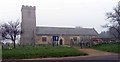
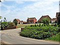
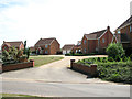
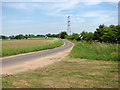
Photos of Pentney
Area Information
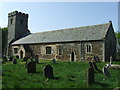
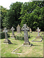
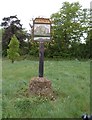
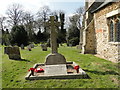
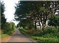
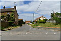
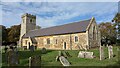
Pentney is a small civil parish covering 10.4 km² in the county of Norfolk. You will find this area offers a quiet rural setting distinct from the busy commuter towns found nearby. Living in Pentney means embracing a lifestyle defined by space and a slower pace, suitable for those who value access to open land over urban convenience. The parish stands as a distinct part of the local landscape, offering residents a specific kind of peace. Your daily life here revolves around the community itself rather than major city centres. This location attracts individuals seeking a settled existence away from the crowds of larger settlements. The environment supports a traditional way of living where proximity to nature defines the routine. You might find yourself enjoying expansive grounds or walking paths within this compact area. The character of Pentney remains consistent, offering a stable backdrop for your life without the distractions of high-density living. This area provides a clear picture of what rural living entails in the modern era. You trade the immediate amenities of a city for a more self-contained existence. The size of the parish creates an intimate feel, where every corner of land contributes to the overall atmosphere. Homes here often reflect a connection to the surrounding terrain. Your perspective on homeownership and community involvement will likely differ from those in more commercial districts.
- Area Type
- Parish
- Area Size
- 10.4 km²
- Population
- Not available
- Population Density
- Not available
Demographics
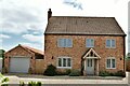
The community in Pentney displays a clear demographic profile shaped by a homeowner population. Sixty-three per cent of residents own their homes outright or with a mortgage, indicating a strong trend toward long-term settlement. This high level of ownership suggests that many families take root here rather than seeking temporary accommodation. The age of the population leans heavily toward senior residents, with a median age of seventy years. You should recognise that this age skew defines the social fabric of the parish. Most residents fall into the older age bracket, meaning the area prioritises stability and quiet over youthful energy or nightlife. The household composition reflects this reality, with fewer young parents or students than in typical urban zones. Diversity markers such as ethnicity, religion, and specific household types are not detailed in the available records, focusing attention instead on the age and ownership structure. A community with such an older demographic naturally gravitates towards specific services. Local shops and amenities likely cater to the needs of a mature populace. The low proportion of young residents means you should not expect a bustling youth scene. Instead, social life centre-rounds local clubs, cafes, and familiar characters who have remained for decades. The homogeneity of the age group creates a shared set of experiences and priorities. This structure provides continuity but requires you to look outside the parish for broader cultural activities.
Household Size
Accommodation Type
Tenure
Ethnic Group
Religion
Household Composition
Age
Household Deprivation
NS-SEC
Explore more demographic insights in this area
Go to Demographics tabPlanning
Planning Constraints
- Flood RiskPremium
- Ramsar Wetland SitesPremium
- Area of Outstanding Natural BeautyPremium
- Protected Nature ReservePremium
- Protected WoodlandPremium