Area Overview for PE9 3BH
Photos of PE9 3BH
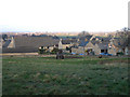

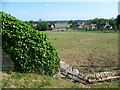
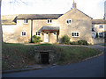
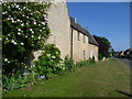
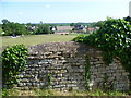
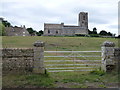


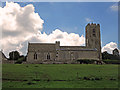
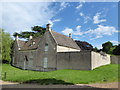

79 photos from this area
Area Information
Key information about the PE9 3BH including its size, population, and administrative classification.
- Area Type
- Postcode
- Area Size
- 1.1 km²
- Population
- 1999
- Population Density
- 74 people/km²
House Prices in PE9 3BH
60
Properties
£580,719
Average Sold Price
£109,000
Lowest Price
£1,750,000
Highest Price
Showing 60 properties
| Address | Type | Beds | Baths | Last Sale Price | Last Sale Date | |
|---|---|---|---|---|---|---|
| Newport Cottage, Main Street, Ufford, PE9 3BH | Terraced | 3 | 2 | £410,000 | Aug 2024 | |
| Nut Tree Cottage, Main Street, Ufford, PE9 3BH | Detached | 3 | 2 | £885,000 | Aug 2024 | |
| Walnut House, Main Street, Ufford, PE9 3BH | house | 4 | 1 | £1,065,000 | Nov 2023 | |
| Hope Barn, Main Street, Ufford, PE9 3BH | Retail | 4 | 3 | £1,350,000 | Dec 2022 | |
| The Old Forge, Main Street, Ufford, PE9 3BH | Detached | 4 | 2 | £1,010,000 | Oct 2021 | |
| Bluebell Cottage, Main Street, Ufford, PE9 3BH | Detached | 5 | - | £860,000 | Sep 2017 | |
| Orient House, Main Street, Ufford, PE9 3BH | Detached | 4 | - | £715,000 | May 2017 | |
| Newport Farm, Main Street, Ufford, PE9 3BH | Detached | 3 | 3 | £450,000 | Jan 2017 | |
| Laundry Cottage, Main Street, Ufford, PE9 3BH | Semi-detached | 2 | - | £400,000 | Nov 2016 | |
| The Roost, Main Street, Ufford, PE9 3BH | Detached | 6 | 1 | £600,000 | May 2016 |
Page 1 of 6
Energy Efficiency in PE9 3BH
Amenities
Schools
| Rank | School | Type | Entry gender | Ages |
|---|
Explore more schools in this area
Go to Schools tabDemographics
Household Size
Family (3-5 people)
most common
Accommodation Type
Houses
most common
Tenure
84
majority
Ethnic Group
White
most common
Religion
N/A
most common
Household Composition
N/A
most common
Age
47
median
Adults (30-64 years)
most common
Household Deprivation
N/A
with no deprivation
NS-SEC
48
in Lower managerial occupations
Explore more demographic insights in this area
Go to Demographics tabPlanning
Planning Constraints
- Flood RiskPremium
- Ramsar Wetland SitesPremium
- Area of Outstanding Natural BeautyPremium
- Protected Nature ReservePremium
- Protected WoodlandPremium