Area Overview for PE8 6LP
Photos of PE8 6LP
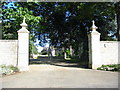
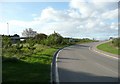
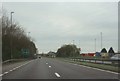
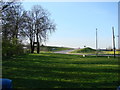
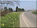
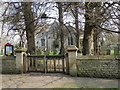
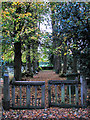
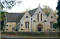

52 photos from this area
Area Information
Key information about the PE8 6LP including its size, population, and administrative classification.
- Area Type
- Postcode
- Area Size
- 69.5 hectares
- Population
- 1157
- Population Density
- 54 people/km²
House Prices in PE8 6LP
42
Properties
£427,987
Average Sold Price
£47,000
Lowest Price
£2,950,000
Highest Price
Showing 42 properties
| Address | Type | Beds | Baths | Last Sale Price | Last Sale Date | |
|---|---|---|---|---|---|---|
| 41 Church Lane, Stibbington, PE8 6LP | Detached | 8 | 2 | £1,000,000 | Aug 2024 | |
| The Boatyard, Church Lane, Stibbington, PE8 6LP | Detached | - | - | £280,000 | Dec 2023 | |
| 35 Church Lane, Stibbington, PE8 6LP | Detached | 5 | 3 | £865,000 | Feb 2022 | |
| 29 Church Lane, Stibbington, PE8 6LP | house | 3 | 1 | £225,000 | Mar 2021 | |
| 61 Church Lane, Stibbington, PE8 6LP | Bungalow | 4 | 1 | £320,000 | Jan 2021 | |
| 23 Church Lane, Stibbington, PE8 6LP | Semi-detached | 4 | 2 | £222,000 | Oct 2019 | |
| The Hall, Church Lane, Stibbington, PE8 6LP | Detached | 3 | - | £2,950,000 | Mar 2019 | |
| 45 Church Lane, Stibbington, PE8 6LP | Detached | 7 | - | £860,000 | Sep 2017 | |
| 3 Church Lane, Stibbington, PE8 6LP | Semi-detached | 3 | - | £170,000 | May 2017 | |
| 1 Church Lane, Stibbington, PE8 6LP | Detached | 4 | 2 | £439,000 | Aug 2016 |
Page 1 of 5
Energy Efficiency in PE8 6LP
Amenities
Schools
| Rank | School | Type | Entry gender | Ages |
|---|
Explore more schools in this area
Go to Schools tabDemographics
Household Size
Two person
most common
Accommodation Type
Houses
most common
Tenure
66
majority
Ethnic Group
White
most common
Religion
N/A
most common
Household Composition
N/A
most common
Age
47
median
Adults (30-64 years)
most common
Household Deprivation
N/A
with no deprivation
NS-SEC
44
in Lower managerial occupations
Explore more demographic insights in this area
Go to Demographics tabPlanning
Planning Constraints
- Flood RiskPremium
- Ramsar Wetland SitesPremium
- Area of Outstanding Natural BeautyPremium
- Protected Nature ReservePremium
- Protected WoodlandPremium