Area Overview for PE7 1DE
Photos of PE7 1DE
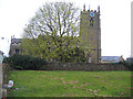
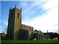
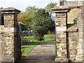
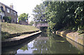
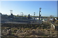
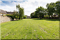
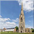

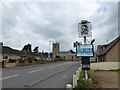
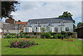
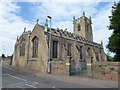
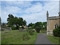
86 photos from this area
Area Information
Key information about the PE7 1DE including its size, population, and administrative classification.
- Area Type
- Postcode
- Area Size
- 8695 m²
- Population
- 1270
- Population Density
- 2144 people/km²
House Prices in PE7 1DE
14
Properties
£103,950
Average Sold Price
£45,500
Lowest Price
£185,000
Highest Price
Showing 14 properties
| Address | Type | Beds | Baths | Last Sale Price | Last Sale Date | |
|---|---|---|---|---|---|---|
| 63 Church Street, Whittlesey, PE7 1DE | house | 5 | 2 | £185,000 | Nov 2015 | |
| 59 Church Street, Whittlesey, PE7 1DE | house | - | - | £150,000 | Oct 2009 | |
| 74 Church Street, Whittlesey, PE7 1DE | Semi-detached | - | - | £45,500 | Apr 2001 | |
| 61 Church Street, Whittlesey, PE7 1DE | house | - | - | £66,500 | Dec 2000 | |
| 65 Church Street, Whittlesey, PE7 1DE | Terraced | - | - | £72,750 | Oct 1999 | |
| 67 Church Street, Whittlesey, PE7 1DE | Bungalow | 5 | 2 | - | - | |
| 75 Church Street, Whittlesey, PE7 1DE | Semi-detached | - | - | - | - | |
| 70 Church Street, Whittlesey, PE7 1DE | Bungalow | - | - | - | - | |
| 64 Church Street, Whittlesey, PE7 1DE | Bungalow | - | - | - | - | |
| 72 Church Street, Whittlesey, PE7 1DE | Bungalow | - | - | - | - |
Page 1 of 2
Energy Efficiency in PE7 1DE
Amenities
Schools
| Rank | School | Type | Entry gender | Ages |
|---|
Explore more schools in this area
Go to Schools tabDemographics
Household Size
Two person
most common
Accommodation Type
Houses
most common
Tenure
80
majority
Ethnic Group
White
most common
Religion
N/A
most common
Household Composition
N/A
most common
Age
47
median
Adults (30-64 years)
most common
Household Deprivation
N/A
with no deprivation
NS-SEC
30
in Lower managerial occupations
Explore more demographic insights in this area
Go to Demographics tabPlanning
Planning Constraints
- Flood RiskPremium
- Ramsar Wetland SitesPremium
- Area of Outstanding Natural BeautyPremium
- Protected Nature ReservePremium
- Protected WoodlandPremium