Area Overview for PE7 1BP
Photos of PE7 1BP
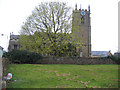
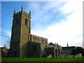
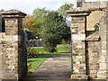
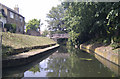
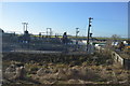
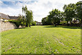
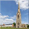

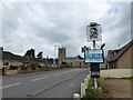
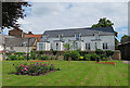
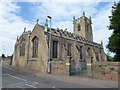
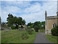
86 photos from this area
Area Information
Key information about the PE7 1BP including its size, population, and administrative classification.
- Area Type
- Postcode
- Area Size
- 5083 m²
- Population
- 1460
- Population Density
- 1878 people/km²
House Prices in PE7 1BP
18
Properties
£156,607
Average Sold Price
£48,000
Lowest Price
£264,000
Highest Price
Showing 18 properties
| Address | Type | Beds | Baths | Last Sale Price | Last Sale Date | |
|---|---|---|---|---|---|---|
| 21A London Street, Whittlesey, PE7 1BP | Retail | 3 | 1 | £264,000 | Nov 2022 | |
| 9 London Street, Whittlesey, PE7 1BP | Terraced | 2 | 1 | £137,000 | Mar 2021 | |
| 6 London Street, Whittlesey, PE7 1BP | Semi-detached | 3 | 1 | £198,500 | Apr 2019 | |
| 8 London Street, Whittlesey, PE7 1BP | Terraced | 3 | 2 | £250,000 | Oct 2018 | |
| 4 London Street, Whittlesey, PE7 1BP | Terraced | 3 | 1 | £180,000 | Jul 2016 | |
| 15 London Street, Whittlesey, PE7 1BP | house | - | - | £95,000 | Jun 2013 | |
| 19 London Street, Whittlesey, PE7 1BP | house | 2 | 1 | £102,500 | Feb 2012 | |
| 22 London Street, Whittlesey, PE7 1BP | Detached | - | - | £205,000 | Jun 2007 | |
| 11 London Street, Whittlesey, PE7 1BP | Terraced | - | - | £152,500 | Jun 2006 | |
| 11A London Street, Whittlesey, PE7 1BP | house | 2 | 1 | £130,000 | Feb 2006 |
Page 1 of 2
Energy Efficiency in PE7 1BP
Amenities
Schools
| Rank | School | Type | Entry gender | Ages |
|---|
Explore more schools in this area
Go to Schools tabDemographics
Household Size
Two person
most common
Accommodation Type
Houses
most common
Tenure
67
majority
Ethnic Group
White
most common
Religion
N/A
most common
Household Composition
N/A
most common
Age
47
median
Adults (30-64 years)
most common
Household Deprivation
N/A
with no deprivation
NS-SEC
26
in Lower managerial occupations
Explore more demographic insights in this area
Go to Demographics tabPlanning
Planning Constraints
- Flood RiskPremium
- Ramsar Wetland SitesPremium
- Area of Outstanding Natural BeautyPremium
- Protected Nature ReservePremium
- Protected WoodlandPremium