Area Overview for PE6 7LD
Photos of PE6 7LD
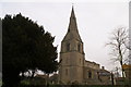
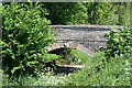
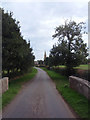
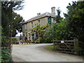
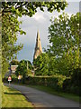
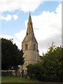
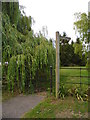
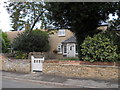
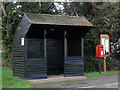
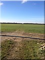
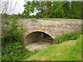
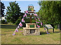
57 photos from this area
Area Information
Key information about the PE6 7LD including its size, population, and administrative classification.
- Area Type
- Postcode
- Area Size
- 10.3 hectares
- Population
- 1745
- Population Density
- 315 people/km²
House Prices in PE6 7LD
48
Properties
£193,756
Average Sold Price
£45,400
Lowest Price
£300,000
Highest Price
Showing 48 properties
| Address | Type | Beds | Baths | Last Sale Price | Last Sale Date | |
|---|---|---|---|---|---|---|
| 1 Oak Road, Glinton, PE6 7LD | Semi-detached | 5 | 1 | £300,000 | Oct 2023 | |
| 7 Oak Road, Glinton, PE6 7LD | Detached | 3 | 1 | £300,000 | Jul 2022 | |
| 11 Oak Road, Glinton, PE6 7LD | Semi-detached | 3 | 1 | £230,000 | Sep 2021 | |
| 20 Oak Road, Glinton, PE6 7LD | house | - | - | £265,000 | Jul 2021 | |
| 45 Oak Road, Glinton, PE6 7LD | Semi-detached | 3 | 1 | £244,000 | Jun 2021 | |
| 37 Oak Road, Glinton, PE6 7LD | Detached | 3 | 1 | £242,000 | Jan 2021 | |
| 16 Oak Road, Glinton, PE6 7LD | house | - | - | £260,000 | Oct 2020 | |
| 34 Oak Road, Glinton, PE6 7LD | Semi-detached | 3 | 1 | £223,000 | Jun 2020 | |
| 31 Oak Road, Glinton, PE6 7LD | Detached | 3 | 1 | £257,500 | Jan 2020 | |
| 33 Oak Road, Glinton, PE6 7LD | Detached | 4 | - | £257,500 | Nov 2018 |
Page 1 of 5
Energy Efficiency in PE6 7LD
Amenities
Schools
| Rank | School | Type | Entry gender | Ages |
|---|
Explore more schools in this area
Go to Schools tabDemographics
Household Size
Two person
most common
Accommodation Type
Houses
most common
Tenure
87
majority
Ethnic Group
White
most common
Religion
N/A
most common
Household Composition
N/A
most common
Age
47
median
Adults (30-64 years)
most common
Household Deprivation
N/A
with no deprivation
NS-SEC
39
in Lower managerial occupations
Explore more demographic insights in this area
Go to Demographics tabPlanning
Planning Constraints
- Flood RiskPremium
- Ramsar Wetland SitesPremium
- Area of Outstanding Natural BeautyPremium
- Protected Nature ReservePremium
- Protected WoodlandPremium