Area Overview for PE6 0SN
Photos of PE6 0SN
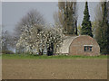
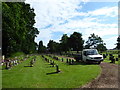
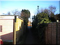
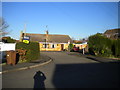
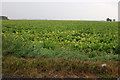
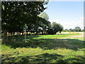
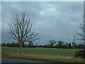
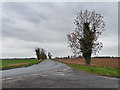
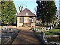
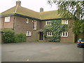
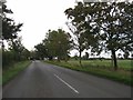
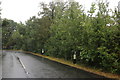
15 photos from this area
Area Information
Key information about the PE6 0SN including its size, population, and administrative classification.
- Area Type
- Postcode
- Area Size
- 6.2 hectares
- Population
- 1328
- Population Density
- 27 people/km²
House Prices in PE6 0SN
81
Properties
£249,919
Average Sold Price
£39,950
Lowest Price
£500,000
Highest Price
Showing 81 properties
| Address | Type | Beds | Baths | Last Sale Price | Last Sale Date | |
|---|---|---|---|---|---|---|
| 31 Woburn Drive, Thorney, PE6 0SN | Detached | 3 | 1 | £190,000 | Aug 2025 | |
| 6 Woburn Drive, Thorney, PE6 0SN | Detached | 3 | 1 | £243,500 | Jul 2025 | |
| 29 Woburn Drive, Thorney, PE6 0SN | Semi-detached | 3 | 2 | £258,000 | Mar 2025 | |
| 47 Woburn Drive, Thorney, PE6 0SN | Semi-detached | 3 | 2 | £295,000 | Mar 2025 | |
| 70 Woburn Drive, Thorney, PE6 0SN | Semi-detached | 3 | 2 | £277,000 | Feb 2025 | |
| 83 Woburn Drive, Thorney, PE6 0SN | Detached | 4 | 1 | £380,000 | Nov 2024 | |
| 22 Woburn Drive, Thorney, PE6 0SN | Semi-detached | 3 | 1 | £195,000 | Oct 2024 | |
| 44 Woburn Drive, Thorney, PE6 0SN | Semi-detached | 3 | 1 | £260,000 | Sep 2024 | |
| 60 Woburn Drive, Thorney, PE6 0SN | Semi-detached | 3 | 2 | £270,000 | Aug 2024 | |
| 13 Woburn Drive, Thorney, PE6 0SN | Semi-detached | 3 | 1 | £205,000 | May 2024 |
Page 1 of 9
Energy Efficiency in PE6 0SN
Amenities
Schools
| Rank | School | Type | Entry gender | Ages |
|---|
Explore more schools in this area
Go to Schools tabDemographics
Household Size
Family (3-5 people)
most common
Accommodation Type
Houses
most common
Tenure
69
majority
Ethnic Group
White
most common
Religion
N/A
most common
Household Composition
N/A
most common
Age
47
median
Adults (30-64 years)
most common
Household Deprivation
N/A
with no deprivation
NS-SEC
32
in Lower managerial occupations
Explore more demographic insights in this area
Go to Demographics tabPlanning
Planning Constraints
- Flood RiskPremium
- Ramsar Wetland SitesPremium
- Area of Outstanding Natural BeautyPremium
- Protected Nature ReservePremium
- Protected WoodlandPremium