Area Overview for PE4 5DL
Photos of PE4 5DL
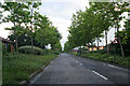
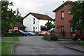
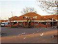
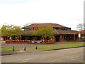
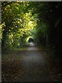
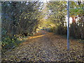
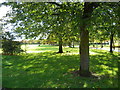
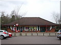
29 photos from this area
Area Information
Key information about the PE4 5DL including its size, population, and administrative classification.
- Area Type
- Postcode
- Area Size
- 2.2 hectares
- Population
- 1421
- Population Density
- 4455 people/km²
House Prices in PE4 5DL
46
Properties
£174,373
Average Sold Price
£47,500
Lowest Price
£360,000
Highest Price
Showing 46 properties
| Address | Type | Beds | Baths | Last Sale Price | Last Sale Date | |
|---|---|---|---|---|---|---|
| 37 Chatsfield, Werrington, Peterborough, PE4 5DL | Detached | 4 | 3 | £345,000 | Nov 2024 | |
| 68 Chatsfield, Werrington, Peterborough, PE4 5DL | Semi-detached | 2 | 1 | £185,000 | Jun 2024 | |
| 56 Chatsfield, Werrington, Peterborough, PE4 5DL | Semi-detached | 2 | 1 | £195,000 | Nov 2023 | |
| 74 Chatsfield, Werrington, Peterborough, PE4 5DL | Detached | 3 | 3 | £360,000 | Nov 2022 | |
| 62 Chatsfield, Werrington, Peterborough, PE4 5DL | house | - | - | £234,000 | May 2022 | |
| 43 Chatsfield, Werrington, Peterborough, PE4 5DL | house | - | - | £305,000 | Mar 2022 | |
| 77 Chatsfield, Werrington, Peterborough, PE4 5DL | Bungalow | - | - | £247,500 | Aug 2021 | |
| 38 Chatsfield, Werrington, Peterborough, PE4 5DL | Detached | 3 | 2 | £265,000 | Mar 2021 | |
| 70 Chatsfield, Werrington, Peterborough, PE4 5DL | Semi-detached | 3 | - | £210,000 | Apr 2020 | |
| 63 Chatsfield, Werrington, Peterborough, PE4 5DL | Detached | 3 | 2 | £240,000 | Jul 2019 |
Page 1 of 5
Energy Efficiency in PE4 5DL
Amenities
Schools
| Rank | School | Type | Entry gender | Ages |
|---|
Explore more schools in this area
Go to Schools tabDemographics
Household Size
One person
most common
Accommodation Type
Houses
most common
Tenure
63
majority
Ethnic Group
White
most common
Religion
N/A
most common
Household Composition
N/A
most common
Age
47
median
Adults (30-64 years)
most common
Household Deprivation
N/A
with no deprivation
NS-SEC
37
in Lower managerial occupations
Explore more demographic insights in this area
Go to Demographics tabPlanning
Planning Constraints
- Flood RiskPremium
- Ramsar Wetland SitesPremium
- Area of Outstanding Natural BeautyPremium
- Protected Nature ReservePremium
- Protected WoodlandPremium