Area Overview for PE38 9GB
Photos of PE38 9GB
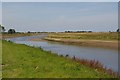
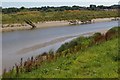
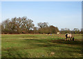
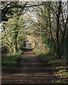
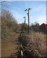


29 photos from this area
Area Information
Key information about the PE38 9GB including its size, population, and administrative classification.
- Area Type
- Postcode
- Area Size
- 1.5 hectares
- Population
- 1177
- Population Density
- 1853 people/km²
House Prices in PE38 9GB
15
Properties
£213,832
Average Sold Price
£162,500
Lowest Price
£372,500
Highest Price
Showing 15 properties
| Address | Type | Beds | Baths | Last Sale Price | Last Sale Date | |
|---|---|---|---|---|---|---|
| 18 Horseman Close, Downham Market, PE38 9GB | Terraced | 3 | - | £215,000 | Sep 2025 | |
| 5 Horseman Close, Downham Market, PE38 9GB | Detached | 4 | 2 | £372,500 | Jan 2025 | |
| 22 Horseman Close, Downham Market, PE38 9GB | Semi-detached | 3 | 1 | £230,000 | Mar 2024 | |
| 24 Horseman Close, Downham Market, PE38 9GB | Semi-detached | 3 | 2 | £235,000 | Jul 2023 | |
| 20 Horseman Close, Downham Market, PE38 9GB | Terraced | 3 | 1 | £235,000 | Aug 2022 | |
| 6 Horseman Close, Downham Market, PE38 9GB | Semi-detached | 3 | 1 | £220,000 | Jan 2022 | |
| 10 Horseman Close, Downham Market, PE38 9GB | Bungalow | - | - | £180,000 | Jan 2021 | |
| 3 Horseman Close, Downham Market, PE38 9GB | Semi-detached | 3 | - | £217,500 | Oct 2019 | |
| 1 Horseman Close, Downham Market, PE38 9GB | Semi-detached | 3 | 1 | £225,000 | Oct 2018 | |
| 8 Horseman Close, Downham Market, PE38 9GB | Semi-detached | 2 | 1 | £162,500 | Oct 2018 |
Page 1 of 2
Energy Efficiency in PE38 9GB
Amenities
Schools
| Rank | School | Type | Entry gender | Ages |
|---|
Explore more schools in this area
Go to Schools tabDemographics
Household Size
Two person
most common
Accommodation Type
Houses
most common
Tenure
81
majority
Ethnic Group
White
most common
Religion
N/A
most common
Household Composition
N/A
most common
Age
47
median
Elderly (65+ years)
most common
Household Deprivation
N/A
with no deprivation
NS-SEC
26
in Lower managerial occupations
Explore more demographic insights in this area
Go to Demographics tabPlanning
Planning Constraints
- Flood RiskPremium
- Ramsar Wetland SitesPremium
- Area of Outstanding Natural BeautyPremium
- Protected Nature ReservePremium
- Protected WoodlandPremium