Area Overview for PE38 9BB
Photos of PE38 9BB
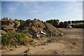
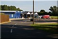
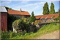

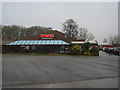
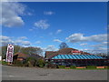


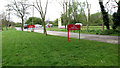
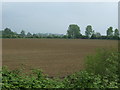
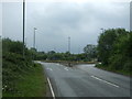
35 photos from this area
Area Information
Key information about the PE38 9BB including its size, population, and administrative classification.
- Area Type
- Postcode
- Area Size
- 36.5 hectares
- Population
- 1232
- Population Density
- 1346 people/km²
House Prices in PE38 9BB
21
Properties
£348,857
Average Sold Price
£80,000
Lowest Price
£650,000
Highest Price
Showing 21 properties
| Address | Type | Beds | Baths | Last Sale Price | Last Sale Date | |
|---|---|---|---|---|---|---|
| Napenda, 86 Ryston End, Downham Market, PE38 9BB | Bungalow | 4 | 3 | £575,000 | May 2024 | |
| 91A Ryston End, Downham Market, PE38 9BB | Retail | 4 | - | £650,000 | Mar 2022 | |
| The Chalet, 89 Ryston End, Downham Market, PE38 9BB | Detached | 4 | 3 | £575,000 | Aug 2021 | |
| 84 Ryston End, Downham Market, PE38 9BB | Bungalow | - | - | £470,000 | Jun 2021 | |
| Tallamoors, 87 Ryston End, Downham Market, PE38 9BB | Detached | 4 | 2 | £425,000 | May 2019 | |
| Rock House, 67 Ryston End, Downham Market, PE38 9BB | Detached | 4 | - | £260,000 | Apr 2019 | |
| Langdale, 75 Ryston End, Downham Market, PE38 9BB | Semi-detached | 3 | - | £175,000 | Apr 2015 | |
| Wellingtonia, 78 Ryston End, Downham Market, PE38 9BB | Detached | 4 | - | £327,500 | Feb 2015 | |
| 93 Ryston End, Downham Market, PE38 9BB | Detached | 4 | - | £429,000 | May 2014 | |
| Sycamores, 43 Ryston End, Downham Market, PE38 9BB | Detached | 4 | 2 | £400,000 | Dec 2013 |
Page 1 of 3
Energy Efficiency in PE38 9BB
Amenities
Schools
| Rank | School | Type | Entry gender | Ages |
|---|
Explore more schools in this area
Go to Schools tabDemographics
Household Size
One person
most common
Accommodation Type
Houses
most common
Tenure
76
majority
Ethnic Group
White
most common
Religion
N/A
most common
Household Composition
N/A
most common
Age
47
median
Elderly (65+ years)
most common
Household Deprivation
N/A
with no deprivation
NS-SEC
29
in Lower managerial occupations
Explore more demographic insights in this area
Go to Demographics tabPlanning
Planning Constraints
- Flood RiskPremium
- Ramsar Wetland SitesPremium
- Area of Outstanding Natural BeautyPremium
- Protected Nature ReservePremium
- Protected WoodlandPremium