Area Overview for PE38 0EJ
Photos of PE38 0EJ
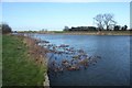
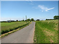
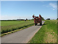
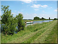
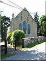


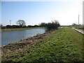

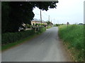
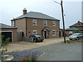
40 photos from this area
Area Information
Key information about the PE38 0EJ including its size, population, and administrative classification.
- Area Type
- Postcode
- Area Size
- 1.2 km²
- Population
- 2434
- Population Density
- 39 people/km²
House Prices in PE38 0EJ
43
Properties
£235,769
Average Sold Price
£102,000
Lowest Price
£490,000
Highest Price
Showing 43 properties
| Address | Type | Beds | Baths | Last Sale Price | Last Sale Date | |
|---|---|---|---|---|---|---|
| Windrush - Proposed Mooring Opposite The Riverbank, Church Road, Ten Mile Bank, PE38 0EJ | Detached | 4 | 2 | £435,000 | May 2025 | |
| Bellador, Church Road, Ten Mile Bank, PE38 0EJ | Retail | 4 | 4 | £490,000 | Nov 2022 | |
| Lynhurst, Church Road, Ten Mile Bank, PE38 0EJ | Detached | - | - | £165,000 | Aug 2021 | |
| Housemartins, 22 Church Road, Ten Mile Bank, PE38 0EJ | house | - | - | £416,000 | Jul 2020 | |
| 2, Chartwell, The Riverbank, Church Road, Ten Mile Bank, PE38 0EJ | Detached | 4 | - | £250,000 | Nov 2016 | |
| 5 Church Road, Ten Mile Bank, PE38 0EJ | Semi-detached | 2 | - | £158,500 | Jul 2016 | |
| Orchard House, Church Road, Ten Mile Bank, PE38 0EJ | house | 4 | 3 | £250,000 | Jul 2013 | |
| 7 Church Road, Ten Mile Bank, PE38 0EJ | Semi-detached | 3 | 1 | £102,000 | Nov 2012 | |
| The Sty, 4 Church Road, Ten Mile Bank, PE38 0EJ | Bungalow | - | - | £130,000 | Oct 2012 | |
| 3 Church Road, Ten Mile Bank, PE38 0EJ | Bungalow | 3 | 1 | £131,500 | Oct 2012 |
Page 1 of 5
Energy Efficiency in PE38 0EJ
Amenities
Schools
| Rank | School | Type | Entry gender | Ages |
|---|
Explore more schools in this area
Go to Schools tabDemographics
Household Size
Two person
most common
Accommodation Type
Houses
most common
Tenure
71
majority
Ethnic Group
White
most common
Religion
N/A
most common
Household Composition
N/A
most common
Age
47
median
Adults (30-64 years)
most common
Household Deprivation
N/A
with no deprivation
NS-SEC
27
in Lower managerial occupations
Explore more demographic insights in this area
Go to Demographics tabPlanning
Planning Constraints
- Flood RiskPremium
- Ramsar Wetland SitesPremium
- Area of Outstanding Natural BeautyPremium
- Protected Nature ReservePremium
- Protected WoodlandPremium