Area Overview for PE38 0EG
Photos of PE38 0EG
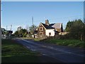
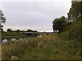
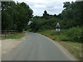
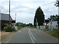
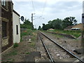
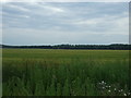
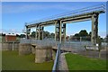
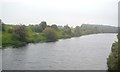
22 photos from this area
Area Information
Key information about the PE38 0EG including its size, population, and administrative classification.
- Area Type
- Postcode
- Area Size
- 5.1 km²
- Population
- 2434
- Population Density
- 39 people/km²
House Prices in PE38 0EG
35
Properties
£541,240
Average Sold Price
£123,000
Lowest Price
£1,390,679
Highest Price
Showing 35 properties
| Address | Type | Beds | Baths | Last Sale Price | Last Sale Date | |
|---|---|---|---|---|---|---|
| Mill View, 99 Sluice Road, Denver, PE38 0EG | Detached | 4 | 2 | £720,000 | Feb 2025 | |
| 129 Sluice Road, Denver, PE38 0EG | Bungalow | - | - | £1,390,679 | Jan 2017 | |
| Hollies Farm, 138 Sluice Road, Denver, PE38 0EG | Detached | 5 | 3 | £375,000 | Jan 2017 | |
| 116 Sluice Road, Denver, PE38 0EG | Bungalow | 3 | - | £155,000 | Sep 2015 | |
| Middle Drove Farm, 178 Sluice Road, Denver, PE38 0EG | Land | 4 | - | £585,000 | Apr 2014 | |
| 125 Sluice Road, Denver, PE38 0EG | Detached | 3 | - | £123,000 | Nov 2007 | |
| Hollies Barn, 140 Sluice Road, Denver, PE38 0EG | Detached | - | - | £440,000 | Feb 2004 | |
| Topaz, 118 Sluice Road, Denver, PE38 0EG | Detached | 3 | 1 | - | - | |
| Millside, 120 Sluice Road, Denver, PE38 0EG | Bungalow | 3 | 2 | - | - | |
| Owls Way, 123 Sluice Road, Denver, PE38 0EG | Detached | 3 | 1 | - | - |
Page 1 of 4
Energy Efficiency in PE38 0EG
Amenities
Schools
| Rank | School | Type | Entry gender | Ages |
|---|
Explore more schools in this area
Go to Schools tabDemographics
Household Size
Two person
most common
Accommodation Type
Houses
most common
Tenure
71
majority
Ethnic Group
White
most common
Religion
N/A
most common
Household Composition
N/A
most common
Age
47
median
Adults (30-64 years)
most common
Household Deprivation
N/A
with no deprivation
NS-SEC
27
in Lower managerial occupations
Explore more demographic insights in this area
Go to Demographics tabPlanning
Planning Constraints
- Flood RiskPremium
- Ramsar Wetland SitesPremium
- Area of Outstanding Natural BeautyPremium
- Protected Nature ReservePremium
- Protected WoodlandPremium