Area Overview for PE37 7EN
Photos of PE37 7EN
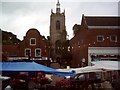
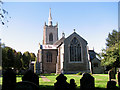
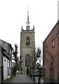
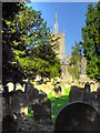
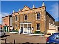
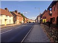
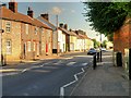
96 photos from this area
Area Information
Key information about the PE37 7EN including its size, population, and administrative classification.
- Area Type
- Postcode
- Area Size
- 2.1 hectares
- Population
- 1729
- Population Density
- 4194 people/km²
House Prices in PE37 7EN
46
Properties
£163,996
Average Sold Price
£36,843
Lowest Price
£255,000
Highest Price
Showing 46 properties
| Address | Type | Beds | Baths | Last Sale Price | Last Sale Date | |
|---|---|---|---|---|---|---|
| 31 The Oaklands, Swaffham, PE37 7EN | Semi-detached | 2 | 1 | £173,000 | Feb 2025 | |
| 36 The Oaklands, Swaffham, PE37 7EN | Semi-detached | 3 | 1 | £237,500 | Dec 2024 | |
| 39 The Oaklands, Swaffham, PE37 7EN | Semi-detached | 3 | 1 | £219,000 | Sep 2024 | |
| 32 The Oaklands, Swaffham, PE37 7EN | house | 2 | - | £215,000 | Mar 2024 | |
| 12 The Oaklands, Swaffham, PE37 7EN | Semi-detached | 3 | 2 | £250,000 | Mar 2023 | |
| 29 The Oaklands, Swaffham, PE37 7EN | Semi-detached | 2 | 1 | £212,525 | Nov 2022 | |
| 18 The Oaklands, Swaffham, PE37 7EN | Semi-detached | 2 | 1 | £167,000 | Aug 2022 | |
| 27 The Oaklands, Swaffham, PE37 7EN | Semi-detached | 2 | 1 | £180,000 | Aug 2021 | |
| 2, The Oaklands, Watton Road, Swaffham, PE37 7EN | Semi-detached | 4 | 2 | £255,000 | Jun 2021 | |
| 24 The Oaklands, Swaffham, PE37 7EN | Semi-detached | 2 | 1 | £177,500 | Mar 2021 |
Page 1 of 5
Energy Efficiency in PE37 7EN
Amenities
Schools
| Rank | School | Type | Entry gender | Ages |
|---|
Explore more schools in this area
Go to Schools tabDemographics
Household Size
Two person
most common
Accommodation Type
Houses
most common
Tenure
58
majority
Ethnic Group
White
most common
Religion
N/A
most common
Household Composition
N/A
most common
Age
47
median
Adults (30-64 years)
most common
Household Deprivation
N/A
with no deprivation
NS-SEC
26
in Lower managerial occupations
Explore more demographic insights in this area
Go to Demographics tabPlanning
Planning Constraints
- Flood RiskPremium
- Ramsar Wetland SitesPremium
- Area of Outstanding Natural BeautyPremium
- Protected Nature ReservePremium
- Protected WoodlandPremium