Area Overview for PE36 6NW
Photos of PE36 6NW
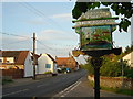
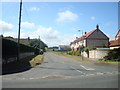
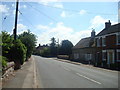
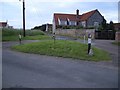
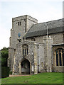
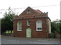
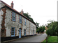
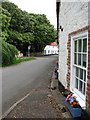
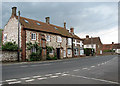
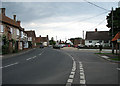
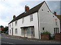
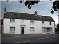
98 photos from this area
Area Information
Key information about the PE36 6NW including its size, population, and administrative classification.
- Area Type
- Postcode
- Area Size
- 1.5 hectares
- Population
- 1130
- Population Density
- 29 people/km²
House Prices in PE36 6NW
15
Properties
£300,412
Average Sold Price
£76,255
Lowest Price
£610,000
Highest Price
Showing 15 properties
| Address | Type | Beds | Baths | Last Sale Price | Last Sale Date | |
|---|---|---|---|---|---|---|
| 8 Malthouse Court, Thornham, PE36 6NW | house | - | - | £610,000 | Aug 2022 | |
| Stable Cottage, Malthouse Court, Thornham, PE36 6NW | house | 2 | - | £370,000 | Feb 2021 | |
| Balblair, 4 Malthouse Court, Thornham, PE36 6NW | Terraced | 3 | 2 | £385,000 | Mar 2016 | |
| 10 Malthouse Court, Thornham, PE36 6NW | Terraced | 3 | - | £290,000 | Oct 2013 | |
| Old Maltings, Malthouse Court, Thornham, PE36 6NW | Terraced | - | - | £408,000 | Jul 2012 | |
| 7 Malthouse Court, Thornham, PE36 6NW | house | 2 | 1 | £249,950 | Jul 2010 | |
| 16 Malthouse Court, Thornham, PE36 6NW | Bungalow | 2 | 1 | £195,000 | Apr 2005 | |
| Rivendell, 6 Malthouse Court, Thornham, PE36 6NW | Terraced | - | - | £119,500 | Jan 2000 | |
| 2 Malthouse Court, Thornham, PE36 6NW | Terraced | - | - | £76,255 | Jan 1998 | |
| 15 Malthouse Court, Thornham, PE36 6NW | Semi-detached | - | - | - | - |
Page 1 of 2
Energy Efficiency in PE36 6NW
Amenities
Schools
| Rank | School | Type | Entry gender | Ages |
|---|
Explore more schools in this area
Go to Schools tabDemographics
Household Size
Two person
most common
Accommodation Type
Houses
most common
Tenure
67
majority
Ethnic Group
White
most common
Religion
N/A
most common
Household Composition
N/A
most common
Age
47
median
Elderly (65+ years)
most common
Household Deprivation
N/A
with no deprivation
NS-SEC
36
in Lower managerial occupations
Explore more demographic insights in this area
Go to Demographics tabPlanning
Planning Constraints
- Flood RiskPremium
- Ramsar Wetland SitesPremium
- Area of Outstanding Natural BeautyPremium
- Protected Nature ReservePremium
- Protected WoodlandPremium