Area Overview for PE34 4RE
Photos of PE34 4RE

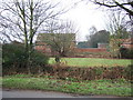

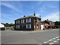
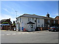
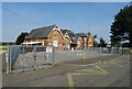
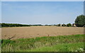
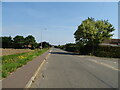

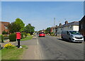
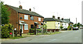
17 photos from this area
Area Information
Key information about the PE34 4RE including its size, population, and administrative classification.
- Area Type
- Postcode
- Area Size
- 8.2 hectares
- Population
- 1351
- Population Density
- 87 people/km²
House Prices in PE34 4RE
13
Properties
£237,167
Average Sold Price
£54,000
Lowest Price
£420,000
Highest Price
Showing 13 properties
| Address | Type | Beds | Baths | Last Sale Price | Last Sale Date | |
|---|---|---|---|---|---|---|
| 64 Magdalen Road, Tilney St Lawrence, PE34 4RE | Land | - | - | £420,000 | Jul 2020 | |
| 20 Magdalen Road, Tilney St Lawrence, PE34 4RE | Bungalow | 4 | - | £295,000 | Jul 2019 | |
| Bramble Cottage, 34 Magdalen Road, Tilney St Lawrence, PE34 4RE | Semi-detached | 2 | 1 | £127,500 | Oct 2018 | |
| Nolans, 22 Magdalen Road, Tilney St Lawrence, PE34 4RE | Bungalow | 3 | 1 | £195,000 | Jul 2018 | |
| Homelands, 40 Magdalen Road, Tilney St Lawrence, PE34 4RE | Detached | 4 | 2 | £275,000 | Jan 2018 | |
| Smithland, 56 Magdalen Road, Tilney St Lawrence, PE34 4RE | Detached | 3 | 3 | £383,000 | Jan 2017 | |
| Homelands, 42 Magdalen Road, Tilney St Lawrence, PE34 4RE | Bungalow | - | - | £180,000 | Feb 2015 | |
| 38 Magdalen Road, Tilney St Lawrence, PE34 4RE | Detached | 4 | - | £205,000 | Nov 2013 | |
| 32 Magdalen Road, Tilney St Lawrence, PE34 4RE | Semi-detached | 4 | 1 | £54,000 | Jul 1999 | |
| 16 Magdalen Road, Tilney St Lawrence, PE34 4RE | Detached | - | - | - | - |
Page 1 of 2
Energy Efficiency in PE34 4RE
Amenities
Schools
| Rank | School | Type | Entry gender | Ages |
|---|
Explore more schools in this area
Go to Schools tabDemographics
Household Size
Two person
most common
Accommodation Type
Houses
most common
Tenure
78
majority
Ethnic Group
White
most common
Religion
N/A
most common
Household Composition
N/A
most common
Age
47
median
Adults (30-64 years)
most common
Household Deprivation
N/A
with no deprivation
NS-SEC
28
in Lower managerial occupations
Explore more demographic insights in this area
Go to Demographics tabPlanning
Planning Constraints
- Flood RiskPremium
- Ramsar Wetland SitesPremium
- Area of Outstanding Natural BeautyPremium
- Protected Nature ReservePremium
- Protected WoodlandPremium