Area Overview for PE34 4LQ
Photos of PE34 4LQ
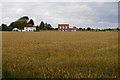
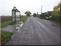
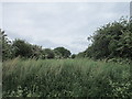
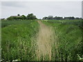
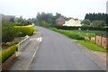
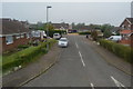
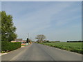
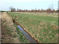
27 photos from this area
Area Information
Key information about the PE34 4LQ including its size, population, and administrative classification.
- Area Type
- Postcode
- Area Size
- 8.6 hectares
- Population
- 1559
- Population Density
- 39 people/km²
House Prices in PE34 4LQ
26
Properties
£114,746
Average Sold Price
£25,440
Lowest Price
£187,500
Highest Price
Showing 26 properties
| Address | Type | Beds | Baths | Last Sale Price | Last Sale Date | |
|---|---|---|---|---|---|---|
| 48 Northgate Way, Terrington St Clement, PE34 4LQ | house | - | - | £187,500 | Feb 2022 | |
| 66 Northgate Way, Terrington St Clement, PE34 4LQ | Semi-detached | 3 | 1 | £170,000 | Jul 2015 | |
| 82 Northgate Way, Terrington St Clement, PE34 4LQ | Semi-detached | 3 | 2 | £127,500 | Jun 2013 | |
| 92 Northgate Way, Terrington St Clement, PE34 4LQ | Semi-detached | - | - | £129,950 | Oct 2004 | |
| 72 Northgate Way, Terrington St Clement, PE34 4LQ | house | - | - | £149,950 | Jul 2004 | |
| 76 Northgate Way, Terrington St Clement, PE34 4LQ | Detached | - | - | £144,375 | Jan 2003 | |
| 80 Northgate Way, Terrington St Clement, PE34 4LQ | Semi-detached | - | - | £25,440 | Oct 2000 | |
| 64 Northgate Way, Terrington St Clement, PE34 4LQ | Semi-detached | - | - | £53,000 | Sep 2000 | |
| 54 Northgate Way, Terrington St Clement, PE34 4LQ | Semi-detached | - | - | £45,000 | Dec 1998 | |
| 86 Northgate Way, Terrington St Clement, PE34 4LQ | house | - | - | - | - |
Page 1 of 3
Energy Efficiency in PE34 4LQ
Amenities
Schools
| Rank | School | Type | Entry gender | Ages |
|---|
Explore more schools in this area
Go to Schools tabDemographics
Household Size
Family (3-5 people)
most common
Accommodation Type
Houses
most common
Tenure
60
majority
Ethnic Group
White
most common
Religion
N/A
most common
Household Composition
N/A
most common
Age
47
median
Adults (30-64 years)
most common
Household Deprivation
N/A
with no deprivation
NS-SEC
20
in Lower managerial occupations
Explore more demographic insights in this area
Go to Demographics tabPlanning
Planning Constraints
- Flood RiskPremium
- Ramsar Wetland SitesPremium
- Area of Outstanding Natural BeautyPremium
- Protected Nature ReservePremium
- Protected WoodlandPremium