Area Overview for PE34 4DT
Photos of PE34 4DT
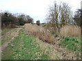
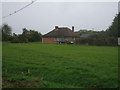
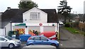
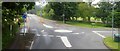
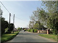
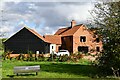
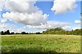
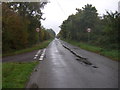
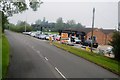
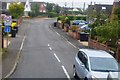
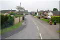
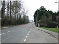
16 photos from this area
Area Information
Key information about the PE34 4DT including its size, population, and administrative classification.
- Area Type
- Postcode
- Area Size
- 2.9 hectares
- Population
- 2223
- Population Density
- 177 people/km²
House Prices in PE34 4DT
15
Properties
£273,643
Average Sold Price
£162,500
Lowest Price
£350,000
Highest Price
Showing 15 properties
| Address | Type | Beds | Baths | Last Sale Price | Last Sale Date | |
|---|---|---|---|---|---|---|
| 162 Main Road, Clenchwarton, PE34 4DT | Detached | 9 | 3 | £318,000 | Mar 2025 | |
| 125 Main Road, Clenchwarton, PE34 4DT | Detached | 5 | 2 | £248,000 | Dec 2024 | |
| 131 Main Road, Clenchwarton, PE34 4DT | Semi-detached | 4 | 2 | £310,000 | Nov 2024 | |
| 143 Main Road, Clenchwarton, PE34 4DT | Bungalow | - | - | £320,000 | Apr 2024 | |
| 149 Main Road, Clenchwarton, PE34 4DT | Detached | - | - | £350,000 | Jan 2023 | |
| 127 Main Road, Clenchwarton, PE34 4DT | Semi-detached | 3 | - | £207,000 | Oct 2020 | |
| 147 Main Road, Clenchwarton, PE34 4DT | Detached | - | - | £162,500 | Jul 2005 | |
| 1, Laurel Croft, Hall Road, Clenchwarton, PE34 4DT | Detached | 5 | 2 | - | - | |
| Flat, 164 Main Road, Clenchwarton, PE34 4DT | Flat | - | - | - | - | |
| School House, 141 Main Road, Clenchwarton, PE34 4DT | house | - | - | - | - |
Page 1 of 2
Energy Efficiency in PE34 4DT
Amenities
Schools
| Rank | School | Type | Entry gender | Ages |
|---|
Explore more schools in this area
Go to Schools tabDemographics
Household Size
Two person
most common
Accommodation Type
Houses
most common
Tenure
83
majority
Ethnic Group
White
most common
Religion
N/A
most common
Household Composition
N/A
most common
Age
47
median
Adults (30-64 years)
most common
Household Deprivation
N/A
with no deprivation
NS-SEC
27
in Lower managerial occupations
Explore more demographic insights in this area
Go to Demographics tabPlanning
Planning Constraints
- Flood RiskPremium
- Ramsar Wetland SitesPremium
- Area of Outstanding Natural BeautyPremium
- Protected Nature ReservePremium
- Protected WoodlandPremium