Area Overview for PE34 3NN
Photos of PE34 3NN
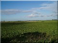
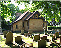
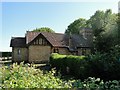
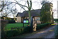
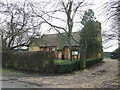

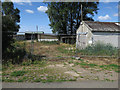
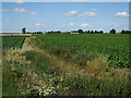
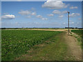
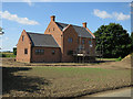
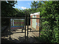
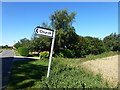
25 photos from this area
Area Information
Key information about the PE34 3NN including its size, population, and administrative classification.
- Area Type
- Postcode
- Area Size
- 30.1 hectares
- Population
- 1682
- Population Density
- 39 people/km²
House Prices in PE34 3NN
9
Properties
£184,000
Average Sold Price
£150,000
Lowest Price
£212,000
Highest Price
Showing 9 properties
| Address | Type | Beds | Baths | Last Sale Price | Last Sale Date | |
|---|---|---|---|---|---|---|
| Reeve Cottage, Wards Chase, Stow Bridge, PE34 3NN | Semi-detached | 2 | - | £212,000 | Oct 2023 | |
| Mole Cottage, 2 Wards Chase, Stow Bridge, PE34 3NN | house | 3 | - | £150,000 | Aug 2012 | |
| Copper Beech House, Wards Chase, Stow Bridge, PE34 3NN | house | - | - | £190,000 | Mar 2006 | |
| Purr Patch, Wards Chase, Stow Bridge, PE34 3NN | Semi-detached | 2 | 1 | - | - | |
| LAING, WARDS CHASE, Stow Bridge, PE34 3NN | Land | - | - | - | - | |
| DWELLING, WARDS CHASE, Stow Bridge, PE34 3NN | Unknown | - | - | - | - | |
| Cats Protection Downham Market Adoption Centre, Wards Chase, Stow Bridge, PE34 3NN | commercial | - | - | - | - | |
| 1 Wards Chase, Stow Bridge, PE34 3NN | Detached | - | - | - | - | |
| Riverside House, Wards Chase, Stow Bridge, PE34 3NN | Detached | - | - | - | - |
Energy Efficiency in PE34 3NN
Amenities
Schools
| Rank | School | Type | Entry gender | Ages |
|---|
Explore more schools in this area
Go to Schools tabDemographics
Household Size
Two person
most common
Accommodation Type
Houses
most common
Tenure
75
majority
Ethnic Group
White
most common
Religion
N/A
most common
Household Composition
N/A
most common
Age
47
median
Adults (30-64 years)
most common
Household Deprivation
N/A
with no deprivation
NS-SEC
28
in Lower managerial occupations
Explore more demographic insights in this area
Go to Demographics tabPlanning
Planning Constraints
- Flood RiskPremium
- Ramsar Wetland SitesPremium
- Area of Outstanding Natural BeautyPremium
- Protected Nature ReservePremium
- Protected WoodlandPremium