Area Overview for PE33 9RR
Photos of PE33 9RR
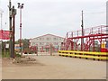
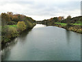
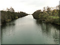
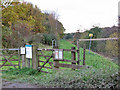
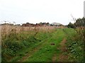
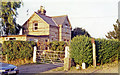
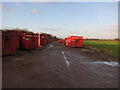
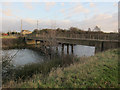
15 photos from this area
Area Information
Key information about the PE33 9RR including its size, population, and administrative classification.
- Area Type
- Postcode
- Area Size
- 1.4 km²
- Population
- 2602
- Population Density
- 40 people/km²
House Prices in PE33 9RR
39
Properties
£209,426
Average Sold Price
£57,000
Lowest Price
£380,112
Highest Price
Showing 39 properties
| Address | Type | Beds | Baths | Last Sale Price | Last Sale Date | |
|---|---|---|---|---|---|---|
| Field View, Station Road, West Dereham, PE33 9RR | Bungalow | 2 | 1 | £235,000 | Jul 2025 | |
| 2, Abbey Cottage, Station Road, West Dereham, PE33 9RR | Semi-detached | 2 | 1 | £230,000 | Aug 2024 | |
| Merander, Station Road, West Dereham, PE33 9RR | Detached | 3 | 1 | £320,000 | Oct 2022 | |
| Oak Lodge, Station Road, West Dereham, PE33 9RR | Bungalow | 3 | 1 | £380,112 | Sep 2022 | |
| Sleepers, Station Road, West Dereham, PE33 9RR | Semi-detached | 3 | 2 | £294,000 | Apr 2022 | |
| Withy Farm, Station Road, West Dereham, PE33 9RR | Detached | - | - | £125,000 | Apr 2018 | |
| Abbey Lodge, Station Road, West Dereham, PE33 9RR | Detached | 5 | 5 | £370,000 | Nov 2014 | |
| Abbey Fields, Station Road, West Dereham, PE33 9RR | Detached | 4 | - | £272,500 | Feb 2014 | |
| The Old Methodist Chapel, Station Road, West Dereham, PE33 9RR | Detached | 2 | - | £87,500 | Apr 1999 | |
| Abbey Station House, Station Road, West Dereham, PE33 9RR | Detached | - | - | £62,000 | Jan 1998 |
Page 1 of 4
Energy Efficiency in PE33 9RR
Amenities
Schools
| Rank | School | Type | Entry gender | Ages |
|---|
Explore more schools in this area
Go to Schools tabDemographics
Household Size
Two person
most common
Accommodation Type
Houses
most common
Tenure
74
majority
Ethnic Group
White
most common
Religion
N/A
most common
Household Composition
N/A
most common
Age
47
median
Adults (30-64 years)
most common
Household Deprivation
N/A
with no deprivation
NS-SEC
32
in Lower managerial occupations
Explore more demographic insights in this area
Go to Demographics tabPlanning
Planning Constraints
- Flood RiskPremium
- Ramsar Wetland SitesPremium
- Area of Outstanding Natural BeautyPremium
- Protected Nature ReservePremium
- Protected WoodlandPremium