Area Overview for PE33 0HY
Photos of PE33 0HY
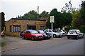
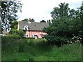
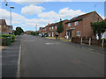
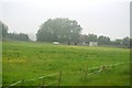
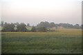
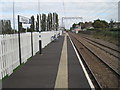
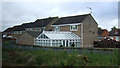
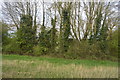
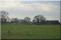
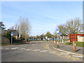
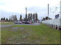
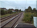
24 photos from this area
Area Information
Key information about the PE33 0HY including its size, population, and administrative classification.
- Area Type
- Postcode
- Area Size
- 30.7 hectares
- Population
- 2594
- Population Density
- 379 people/km²
House Prices in PE33 0HY
17
Properties
£185,375
Average Sold Price
£18,000
Lowest Price
£315,000
Highest Price
Showing 17 properties
| Address | Type | Beds | Baths | Last Sale Price | Last Sale Date | |
|---|---|---|---|---|---|---|
| 62 Fen Road, Watlington, PE33 0HY | Detached | 4 | - | £285,000 | Feb 2020 | |
| High Fields, 68 Fen Road, Watlington, PE33 0HY | Bungalow | 3 | 2 | £245,000 | Feb 2017 | |
| 74 Fen Road, Watlington, PE33 0HY | house | - | - | £185,000 | Feb 2016 | |
| Adlington House, 88 Fen Road, Watlington, PE33 0HY | house | - | - | £315,000 | Aug 2014 | |
| 94 Fen Road, Watlington, PE33 0HY | Detached | - | - | £249,999 | Jan 2013 | |
| Pleasant Row, 58 Fen Road, Watlington, PE33 0HY | house | - | - | £110,000 | May 2011 | |
| Pleasant Row, 52 Fen Road, Watlington, PE33 0HY | Terraced | 3 | 1 | £75,000 | Sep 2003 | |
| Pleasant Row, 54 Fen Road, Watlington, PE33 0HY | Terraced | 2 | 1 | £18,000 | Oct 1999 | |
| Sewage Pumping Station, Fen Road, Watlington, PE33 0HY | Industrial | - | - | - | - | |
| 64 Fen Road, Watlington, PE33 0HY | Detached | - | - | - | - |
Page 1 of 2
Energy Efficiency in PE33 0HY
Amenities
Schools
| Rank | School | Type | Entry gender | Ages |
|---|
Explore more schools in this area
Go to Schools tabDemographics
Household Size
Two person
most common
Accommodation Type
Houses
most common
Tenure
76
majority
Ethnic Group
White
most common
Religion
N/A
most common
Household Composition
N/A
most common
Age
47
median
Adults (30-64 years)
most common
Household Deprivation
N/A
with no deprivation
NS-SEC
31
in Lower managerial occupations
Explore more demographic insights in this area
Go to Demographics tabPlanning
Planning Constraints
- Flood RiskPremium
- Ramsar Wetland SitesPremium
- Area of Outstanding Natural BeautyPremium
- Protected Nature ReservePremium
- Protected WoodlandPremium