Area Overview for PE32 2HF
Photos of PE32 2HF
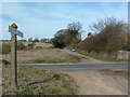
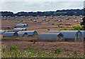
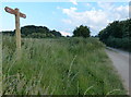
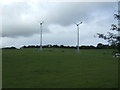
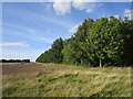
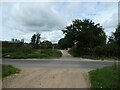
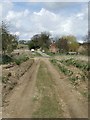
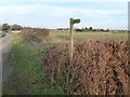
25 photos from this area
Area Information
Key information about the PE32 2HF including its size, population, and administrative classification.
- Area Type
- Postcode
- Area Size
- 71.3 hectares
- Population
- 2294
- Population Density
- 23 people/km²
House Prices in PE32 2HF
13
Properties
£322,500
Average Sold Price
£310,000
Lowest Price
£330,000
Highest Price
Showing 13 properties
| Address | Type | Beds | Baths | Last Sale Price | Last Sale Date | |
|---|---|---|---|---|---|---|
| Oaklea, Drunken Drove, Great Massingham, PE32 2HF | Detached | 5 | 2 | £330,000 | Dec 2019 | |
| The Vines, 3 Drunken Drove, Great Massingham, PE32 2HF | Bungalow | 3 | 2 | £310,000 | Nov 2011 | |
| Two Hoots, Drunken Drove, Great Massingham, PE32 2HF | Bungalow | - | - | £327,500 | Sep 2006 | |
| Willow Barn, Drunken Drove, Great Massingham, PE32 2HF | Detached | - | - | - | - | |
| Annexe, Willow Barn, Drunken Drove, Great Massingham, PE32 2HF | Flat | - | - | - | - | |
| Sootys Place, Drunken Drove, Great Massingham, PE32 2HF | Detached | - | - | - | - | |
| Tipsy House, Drunken Drove, Great Massingham, PE32 2HF | Detached | - | - | - | - | |
| Hillcrest, Drunken Drove, Great Massingham, PE32 2HF | Detached | - | - | - | - | |
| Peddars Bungalow, Drunken Drove, Great Massingham, PE32 2HF | Detached | - | - | - | - | |
| Ashwood House, Drunken Drove, Great Massingham, PE32 2HF | Detached | - | - | - | - |
Page 1 of 2
Energy Efficiency in PE32 2HF
Amenities
Schools
| Rank | School | Type | Entry gender | Ages |
|---|
Explore more schools in this area
Go to Schools tabDemographics
Household Size
Two person
most common
Accommodation Type
Houses
most common
Tenure
54
majority
Ethnic Group
White
most common
Religion
N/A
most common
Household Composition
N/A
most common
Age
47
median
Adults (30-64 years)
most common
Household Deprivation
N/A
with no deprivation
NS-SEC
31
in Lower managerial occupations
Explore more demographic insights in this area
Go to Demographics tabPlanning
Planning Constraints
- Flood RiskPremium
- Ramsar Wetland SitesPremium
- Area of Outstanding Natural BeautyPremium
- Protected Nature ReservePremium
- Protected WoodlandPremium