Area Overview for PE32 1SG
Photos of PE32 1SG
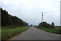
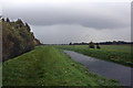
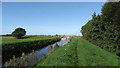
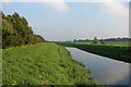
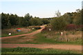
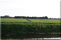
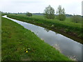
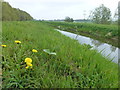
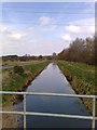
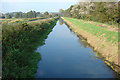
14 photos from this area
Area Information
Key information about the PE32 1SG including its size, population, and administrative classification.
- Area Type
- Postcode
- Area Size
- 2.1 km²
- Population
- 1384
- Population Density
- 37 people/km²
House Prices in PE32 1SG
57
Properties
£247,546
Average Sold Price
£60,000
Lowest Price
£570,000
Highest Price
Showing 57 properties
| Address | Type | Beds | Baths | Last Sale Price | Last Sale Date | |
|---|---|---|---|---|---|---|
| Horseshoe Cottage, Wormegay Road, Blackborough End, PE32 1SG | Detached | 3 | 3 | £475,000 | Mar 2025 | |
| Journeys End, Wormegay Road, Blackborough End, PE32 1SG | Bungalow | - | - | £300,000 | Apr 2022 | |
| Toynbee, Wormegay Road, Blackborough End, PE32 1SG | Bungalow | 2 | 1 | £570,000 | Aug 2021 | |
| Primrose Farm, Wormegay Road, Blackborough End, PE32 1SG | house | - | - | £119,000 | Apr 2020 | |
| Rivington, Wormegay Road, Blackborough End, PE32 1SG | Detached | 4 | 2 | £375,000 | Nov 2019 | |
| South Ridge, Wormegay Road, Blackborough End, PE32 1SG | Detached | 5 | 3 | £550,000 | Jan 2019 | |
| Fox Farm, Wormegay Road, Blackborough End, PE32 1SG | Detached | 5 | 3 | £510,000 | Sep 2018 | |
| Mill Farm Cottage, Wormegay Road, Blackborough End, PE32 1SG | Semi-detached | 3 | 1 | £147,000 | Feb 2017 | |
| Westfield Rise, Wormegay Road, Blackborough End, PE32 1SG | Detached | 5 | 3 | £470,000 | Dec 2016 | |
| Field View, Wormegay Road, Blackborough End, PE32 1SG | Bungalow | - | - | £250,000 | Dec 2016 |
Page 1 of 6
Energy Efficiency in PE32 1SG
Amenities
Schools
| Rank | School | Type | Entry gender | Ages |
|---|
Explore more schools in this area
Go to Schools tabDemographics
Household Size
Two person
most common
Accommodation Type
Houses
most common
Tenure
74
majority
Ethnic Group
White
most common
Religion
N/A
most common
Household Composition
N/A
most common
Age
47
median
Adults (30-64 years)
most common
Household Deprivation
N/A
with no deprivation
NS-SEC
29
in Lower managerial occupations
Explore more demographic insights in this area
Go to Demographics tabPlanning
Planning Constraints
- Flood RiskPremium
- Ramsar Wetland SitesPremium
- Area of Outstanding Natural BeautyPremium
- Protected Nature ReservePremium
- Protected WoodlandPremium