Area Overview for PE32 1EJ
Photos of PE32 1EJ
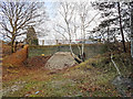
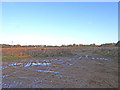
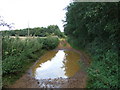
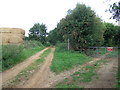
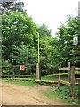
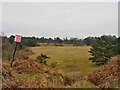
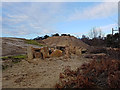
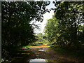
13 photos from this area
Area Information
Key information about the PE32 1EJ including its size, population, and administrative classification.
- Area Type
- Postcode
- Area Size
- 95.8 hectares
- Population
- 2462
- Population Density
- 60 people/km²
House Prices in PE32 1EJ
27
Properties
£256,286
Average Sold Price
£115,000
Lowest Price
£485,000
Highest Price
Showing 27 properties
| Address | Type | Beds | Baths | Last Sale Price | Last Sale Date | |
|---|---|---|---|---|---|---|
| Greenfields, 21 Station Road, Leziate, PE32 1EJ | Bungalow | 4 | 2 | £485,000 | Dec 2025 | |
| The Lodge, 19 Station Road, Leziate, PE32 1EJ | Detached | 4 | 2 | £380,000 | Feb 2023 | |
| Highbury, 41 Station Road, Leziate, PE32 1EJ | Bungalow | - | - | £272,500 | Jul 2021 | |
| Pine View, 27 Station Road, Leziate, PE32 1EJ | Bungalow | - | - | £245,000 | Jun 2021 | |
| By The Wood, 3 Station Road, Leziate, PE32 1EJ | Bungalow | - | - | £275,000 | Oct 2020 | |
| 15 Station Road, Leziate, PE32 1EJ | Bungalow | 4 | 2 | £407,500 | Oct 2020 | |
| 25 Station Road, Leziate, PE32 1EJ | Bungalow | 4 | 2 | £415,000 | Apr 2019 | |
| Brack En Dale, 43 Station Road, Leziate, PE32 1EJ | Chalet | 3 | 2 | £268,000 | Feb 2016 | |
| Beech Cottage, 11 Station Road, Leziate, PE32 1EJ | Semi-detached | 3 | - | £179,500 | Mar 2014 | |
| Bridge House, 33 Station Road, Leziate, PE32 1EJ | Bungalow | - | - | £152,500 | Apr 2013 |
Page 1 of 3
Energy Efficiency in PE32 1EJ
Amenities
Schools
| Rank | School | Type | Entry gender | Ages |
|---|
Explore more schools in this area
Go to Schools tabDemographics
Household Size
Two person
most common
Accommodation Type
Houses
most common
Tenure
70
majority
Ethnic Group
White
most common
Religion
N/A
most common
Household Composition
N/A
most common
Age
47
median
Adults (30-64 years)
most common
Household Deprivation
N/A
with no deprivation
NS-SEC
31
in Lower managerial occupations
Explore more demographic insights in this area
Go to Demographics tabPlanning
Planning Constraints
- Flood RiskPremium
- Ramsar Wetland SitesPremium
- Area of Outstanding Natural BeautyPremium
- Protected Nature ReservePremium
- Protected WoodlandPremium