Area Overview for PE32 1DT
Photos of PE32 1DT
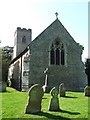
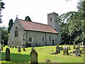
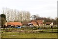
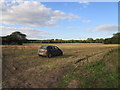
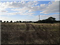
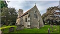
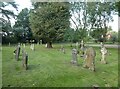
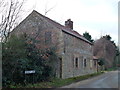
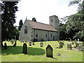
31 photos from this area
Area Information
Key information about the PE32 1DT including its size, population, and administrative classification.
- Area Type
- Postcode
- Area Size
- 20.0 hectares
- Population
- 2294
- Population Density
- 23 people/km²
House Prices in PE32 1DT
10
Properties
£338,258
Average Sold Price
£169,050
Lowest Price
£577,500
Highest Price
Showing 10 properties
| Address | Type | Beds | Baths | Last Sale Price | Last Sale Date | |
|---|---|---|---|---|---|---|
| 22 Church Hill, Congham, PE32 1DT | house | 3 | - | £577,500 | Jan 2023 | |
| 16 Church Hill, Congham, PE32 1DT | house | - | - | £440,000 | Dec 2021 | |
| Woodside, 18 Church Hill, Congham, PE32 1DT | house | - | - | £351,000 | Nov 2020 | |
| 21 Church Hill, Congham, PE32 1DT | Cottage | 3 | 1 | £272,000 | Jan 2018 | |
| Jasmine Cottage, 20 Church Hill, Congham, PE32 1DT | Cottage | 3 | 2 | £220,000 | Aug 2012 | |
| 19 Church Hill, Congham, PE32 1DT | Terraced | - | - | £169,050 | Jul 2002 | |
| Romany Cottage, Church Hill, Congham, PE32 1DT | Detached | - | - | - | - | |
| Piperscroft, Church Hill, Congham, PE32 1DT | Detached | - | - | - | - | |
| The Old School, Church Hill, Congham, PE32 1DT | Detached | - | - | - | - | |
| 17 Church Hill, Congham, PE32 1DT | Terraced | - | - | - | - |
Energy Efficiency in PE32 1DT
Amenities
Schools
| Rank | School | Type | Entry gender | Ages |
|---|
Explore more schools in this area
Go to Schools tabDemographics
Household Size
Two person
most common
Accommodation Type
Houses
most common
Tenure
54
majority
Ethnic Group
White
most common
Religion
N/A
most common
Household Composition
N/A
most common
Age
47
median
Adults (30-64 years)
most common
Household Deprivation
N/A
with no deprivation
NS-SEC
31
in Lower managerial occupations
Explore more demographic insights in this area
Go to Demographics tabPlanning
Planning Constraints
- Flood RiskPremium
- Ramsar Wetland SitesPremium
- Area of Outstanding Natural BeautyPremium
- Protected Nature ReservePremium
- Protected WoodlandPremium