Area Overview for PE31 8BY
Photos of PE31 8BY
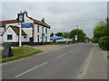
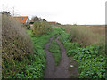
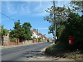
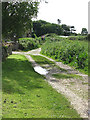
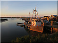
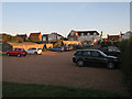
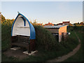
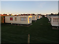
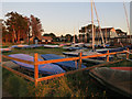
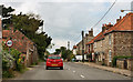
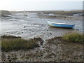
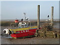
100 photos from this area
Area Information
Key information about the PE31 8BY including its size, population, and administrative classification.
- Area Type
- Postcode
- Area Size
- 35.1 hectares
- Population
- 1130
- Population Density
- 29 people/km²
House Prices in PE31 8BY
31
Properties
£567,500
Average Sold Price
£80,000
Lowest Price
£1,760,000
Highest Price
Showing 31 properties
| Address | Type | Beds | Baths | Last Sale Price | Last Sale Date | |
|---|---|---|---|---|---|---|
| Dolphin Cottage, Main Road, Brancaster Staithe, PE31 8BY | Cottage | 3 | 1 | £535,000 | Nov 2023 | |
| Endeavour House, Main Road, Brancaster Staithe, PE31 8BY | house | - | - | £780,000 | Nov 2018 | |
| 3, Harbour View Terrace, Main Road, Brancaster Staithe, PE31 8BY | Terraced | 3 | 1 | £695,000 | Mar 2016 | |
| Tidal Shore, Main Road, Brancaster Staithe, PE31 8BY | house | 4 | - | £1,760,000 | Oct 2011 | |
| Puffins, Main Road, Brancaster Staithe, PE31 8BY | Terraced | - | - | £375,000 | Oct 2008 | |
| Reddings, Main Road, Brancaster Staithe, PE31 8BY | Terraced | - | - | £725,000 | Apr 2005 | |
| Meadowsweet, Main Road, Brancaster Staithe, PE31 8BY | Detached | - | - | £410,000 | Oct 2003 | |
| Brent Marsh, Main Road, Brancaster Staithe, PE31 8BY | house | - | - | £750,000 | Nov 2002 | |
| The Finches, Main Road, Brancaster Staithe, PE31 8BY | Detached | - | - | £180,000 | May 2001 | |
| Breakwaters, Main Road, Brancaster Staithe, PE31 8BY | Detached | - | - | £185,000 | Nov 2000 |
Page 1 of 4
Energy Efficiency in PE31 8BY
Amenities
Schools
| Rank | School | Type | Entry gender | Ages |
|---|
Explore more schools in this area
Go to Schools tabDemographics
Household Size
Two person
most common
Accommodation Type
Houses
most common
Tenure
67
majority
Ethnic Group
White
most common
Religion
N/A
most common
Household Composition
N/A
most common
Age
47
median
Elderly (65+ years)
most common
Household Deprivation
N/A
with no deprivation
NS-SEC
36
in Lower managerial occupations
Explore more demographic insights in this area
Go to Demographics tabPlanning
Planning Constraints
- Flood RiskPremium
- Ramsar Wetland SitesPremium
- Area of Outstanding Natural BeautyPremium
- Protected Nature ReservePremium
- Protected WoodlandPremium