Area Overview for PE31 6LP
Photos of PE31 6LP
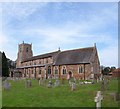
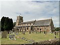
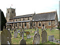
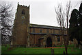
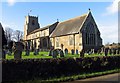
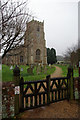
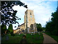
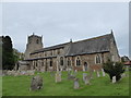
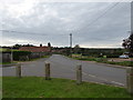
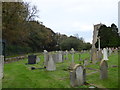
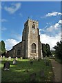
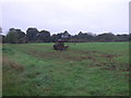
51 photos from this area
Area Information
Key information about the PE31 6LP including its size, population, and administrative classification.
- Area Type
- Postcode
- Area Size
- 27.2 hectares
- Population
- 1418
- Population Density
- 168 people/km²
House Prices in PE31 6LP
40
Properties
£217,929
Average Sold Price
£160,000
Lowest Price
£390,000
Highest Price
Showing 40 properties
| Address | Type | Beds | Baths | Last Sale Price | Last Sale Date | |
|---|---|---|---|---|---|---|
| 65 Doddshill Road, Dersingham, PE31 6LP | Detached | 3 | 1 | £390,000 | Dec 2024 | |
| 52 Doddshill Road, Dersingham, PE31 6LP | Semi-detached | 3 | 1 | £225,000 | Aug 2021 | |
| 81 Doddshill Road, Dersingham, PE31 6LP | Bungalow | - | - | £196,000 | Mar 2021 | |
| 60 Doddshill Road, Dersingham, PE31 6LP | Semi-detached | 3 | 1 | £240,000 | Mar 2020 | |
| 62 Doddshill Road, Dersingham, PE31 6LP | Semi-detached | 3 | 1 | £175,000 | Feb 2020 | |
| 68 Doddshill Road, Dersingham, PE31 6LP | Bungalow | - | - | £175,000 | Sep 2019 | |
| 48 Doddshill Road, Dersingham, PE31 6LP | Detached | 3 | 1 | £310,000 | Feb 2019 | |
| 50 Doddshill Road, Dersingham, PE31 6LP | Semi-detached | 2 | - | £185,000 | Jul 2016 | |
| 44 Doddshill Road, Dersingham, PE31 6LP | Semi-detached | 4 | 1 | £265,000 | May 2016 | |
| 64 Doddshill Road, Dersingham, PE31 6LP | Semi-detached | 3 | 2 | £225,000 | May 2016 |
Page 1 of 4
Energy Efficiency in PE31 6LP
Amenities
Schools
| Rank | School | Type | Entry gender | Ages |
|---|
Explore more schools in this area
Go to Schools tabDemographics
Household Size
Two person
most common
Accommodation Type
Houses
most common
Tenure
79
majority
Ethnic Group
White
most common
Religion
N/A
most common
Household Composition
N/A
most common
Age
47
median
Adults (30-64 years)
most common
Household Deprivation
N/A
with no deprivation
NS-SEC
32
in Lower managerial occupations
Explore more demographic insights in this area
Go to Demographics tabPlanning
Planning Constraints
- Flood RiskPremium
- Ramsar Wetland SitesPremium
- Area of Outstanding Natural BeautyPremium
- Protected Nature ReservePremium
- Protected WoodlandPremium