Area Overview for PE3 6AB
Photos of PE3 6AB

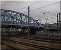
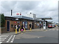
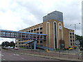
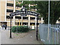
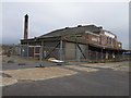
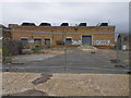
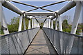
100 photos from this area
Area Information
Key information about the PE3 6AB including its size, population, and administrative classification.
- Area Type
- Postcode
- Area Size
- 1.2 hectares
- Population
- 2522
- Population Density
- 3564 people/km²
House Prices in PE3 6AB
7
Properties
£475,000
Average Sold Price
£380,000
Lowest Price
£570,000
Highest Price
Showing 7 properties
| Address | Type | Beds | Baths | Last Sale Price | Last Sale Date | |
|---|---|---|---|---|---|---|
| 11A Thorpe Road, Peterborough, PE3 6AB | Semi-detached | 6 | 1 | £380,000 | Sep 2020 | |
| Orchard House, 15 Thorpe Road, Peterborough, PE3 6AB | Detached | - | - | £570,000 | Jul 2010 | |
| Barker Storey Matthews, The Lawns, 33 Thorpe Road, Peterborough, PE3 6AB | Office | - | - | - | - | |
| Nera Accounting, Nera Accounting First Floor, Bank House, 33 Thorpe Road, Peterborough, PE3 6AB | office_workshop | - | - | - | - | |
| Emerald Hope Properties, Bank House, 33 Thorpe Road, Peterborough, PE3 6AB | Office | - | - | - | - | |
| Greenwood Personal Credit Ltd, New House, 33 Thorpe Road, Peterborough, PE3 6AB | Office | - | - | - | - | |
| Quaker Meeting House, 21 Thorpe Road, Peterborough, PE3 6AB | commercial | - | - | - | - |
Energy Efficiency in PE3 6AB
Amenities
Schools
| Rank | School | Type | Entry gender | Ages |
|---|
Explore more schools in this area
Go to Schools tabDemographics
Household Size
Two person
most common
Accommodation Type
Houses
most common
Tenure
51
majority
Ethnic Group
White
most common
Religion
N/A
most common
Household Composition
N/A
most common
Age
47
median
Adults (30-64 years)
most common
Household Deprivation
N/A
with no deprivation
NS-SEC
40
in Lower managerial occupations
Explore more demographic insights in this area
Go to Demographics tabPlanning
Planning Constraints
- Flood RiskPremium
- Ramsar Wetland SitesPremium
- Area of Outstanding Natural BeautyPremium
- Protected Nature ReservePremium
- Protected WoodlandPremium