Area Overview for PE29 7AF
Photos of PE29 7AF
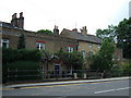
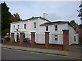
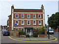
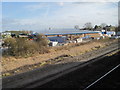
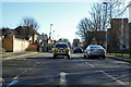
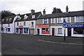
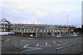
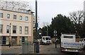
56 photos from this area
Area Information
Key information about the PE29 7AF including its size, population, and administrative classification.
- Area Type
- Postcode
- Area Size
- 6.6 hectares
- Population
- 1346
- Population Density
- 3822 people/km²
House Prices in PE29 7AF
19
Properties
£141,946
Average Sold Price
£34,200
Lowest Price
£241,000
Highest Price
Showing 19 properties
| Address | Type | Beds | Baths | Last Sale Price | Last Sale Date | |
|---|---|---|---|---|---|---|
| 13 Sallowbush Road, Huntingdon, PE29 7AF | house | - | - | £237,000 | Oct 2024 | |
| 16 Sallowbush Road, Huntingdon, PE29 7AF | Terraced | 3 | 1 | £241,000 | May 2024 | |
| 11 Sallowbush Road, Huntingdon, PE29 7AF | Terraced | 3 | 1 | £228,000 | Apr 2022 | |
| 15 Sallowbush Road, Huntingdon, PE29 7AF | Terraced | 3 | - | £197,500 | Oct 2018 | |
| 8 Sallowbush Road, Huntingdon, PE29 7AF | Terraced | 3 | 1 | £176,100 | Mar 2017 | |
| 18 Sallowbush Road, Huntingdon, PE29 7AF | Terraced | 3 | 1 | £125,000 | Jun 2014 | |
| 7 Sallowbush Road, Huntingdon, PE29 7AF | Terraced | 3 | - | £126,000 | Jul 2013 | |
| 17 Sallowbush Road, Huntingdon, PE29 7AF | Terraced | 3 | - | £114,000 | Mar 2013 | |
| 1 Sallowbush Road, Huntingdon, PE29 7AF | house | 3 | - | £128,000 | Feb 2008 | |
| 6 Sallowbush Road, Huntingdon, PE29 7AF | Terraced | - | - | £104,000 | Jul 2005 |
Page 1 of 2
Energy Efficiency in PE29 7AF
Amenities
Schools
| Rank | School | Type | Entry gender | Ages |
|---|
Explore more schools in this area
Go to Schools tabDemographics
Household Size
Family (3-5 people)
most common
Accommodation Type
Houses
most common
Tenure
46
majority
Ethnic Group
White
most common
Religion
N/A
most common
Household Composition
N/A
most common
Age
47
median
Adults (30-64 years)
most common
Household Deprivation
N/A
with no deprivation
NS-SEC
16
in Lower managerial occupations
Explore more demographic insights in this area
Go to Demographics tabPlanning
Planning Constraints
- Flood RiskPremium
- Ramsar Wetland SitesPremium
- Area of Outstanding Natural BeautyPremium
- Protected Nature ReservePremium
- Protected WoodlandPremium