Area Overview for PE29 3FD
Photos of PE29 3FD
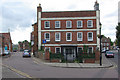
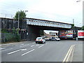

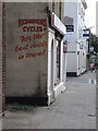
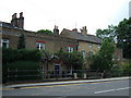
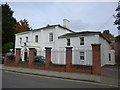
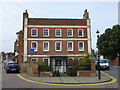
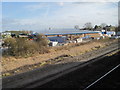

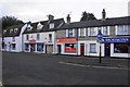
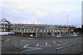

56 photos from this area
Area Information
Key information about the PE29 3FD including its size, population, and administrative classification.
- Area Type
- Postcode
- Area Size
- 3413 m²
- Population
- 1126
- Population Density
- 5175 people/km²
House Prices in PE29 3FD
48
Properties
£229,414
Average Sold Price
£167,500
Lowest Price
£338,950
Highest Price
Showing 48 properties
| Address | Type | Beds | Baths | Last Sale Price | Last Sale Date | |
|---|---|---|---|---|---|---|
| 36, Moorhouse Lodge, Edison Bell Way, Huntingdon, PE29 3FD | Flat | - | - | £195,000 | Sep 2025 | |
| 5, Moorhouse Lodge, Edison Bell Way, Huntingdon, PE29 3FD | Flat | 2 | - | £232,000 | Jun 2025 | |
| 28, Moorhouse Lodge, Edison Bell Way, Huntingdon, PE29 3FD | Flat | 1 | 1 | £178,000 | Feb 2025 | |
| 11, Moorhouse Lodge, Edison Bell Way, Huntingdon, PE29 3FD | Flat | 1 | 1 | £209,000 | Dec 2024 | |
| 39, Moorhouse Lodge, Edison Bell Way, Huntingdon, PE29 3FD | Flat | 1 | 1 | £167,500 | Sep 2024 | |
| 29, Moorhouse Lodge, Edison Bell Way, Huntingdon, PE29 3FD | Flat | 1 | 1 | £175,000 | Aug 2024 | |
| 10, Moorhouse Lodge, Edison Bell Way, Huntingdon, PE29 3FD | Flat | 1 | 1 | £202,000 | Feb 2024 | |
| 20, Moorhouse Lodge, Edison Bell Way, Huntingdon, PE29 3FD | Flat | 2 | 1 | £215,000 | Nov 2023 | |
| 42, Moorhouse Lodge, Edison Bell Way, Huntingdon, PE29 3FD | Flat | 1 | 1 | £260,950 | Feb 2023 | |
| 45, Moorhouse Lodge, Edison Bell Way, Huntingdon, PE29 3FD | Flat | - | - | £223,950 | Jan 2023 |
Page 1 of 5
Energy Efficiency in PE29 3FD
Amenities
Schools
| Rank | School | Type | Entry gender | Ages |
|---|
Explore more schools in this area
Go to Schools tabDemographics
Household Size
One person
most common
Accommodation Type
Flats
most common
Tenure
41
majority
Ethnic Group
White
most common
Religion
N/A
most common
Household Composition
N/A
most common
Age
47
median
Adults (30-64 years)
most common
Household Deprivation
N/A
with no deprivation
NS-SEC
35
in Lower managerial occupations
Explore more demographic insights in this area
Go to Demographics tabPlanning
Planning Constraints
- Flood RiskPremium
- Ramsar Wetland SitesPremium
- Area of Outstanding Natural BeautyPremium
- Protected Nature ReservePremium
- Protected WoodlandPremium