Area Overview for PE29 3BD
Photos of PE29 3BD
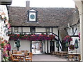
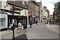
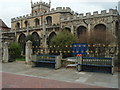
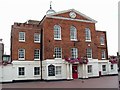
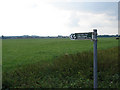
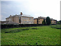
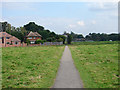
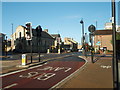

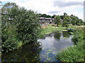
100 photos from this area
Area Information
Key information about the PE29 3BD including its size, population, and administrative classification.
- Area Type
- Postcode
- Area Size
- 1.2 hectares
- Population
- 1126
- Population Density
- 5175 people/km²
House Prices in PE29 3BD
16
Properties
£540,000
Average Sold Price
£540,000
Lowest Price
£540,000
Highest Price
Showing 16 properties
| Address | Type | Beds | Baths | Last Sale Price | Last Sale Date | |
|---|---|---|---|---|---|---|
| 16 George Street, Huntingdon, PE29 3BD | Semi-detached | 6 | 3 | £540,000 | May 2022 | |
| 18 George Street, Huntingdon, PE29 3BD | Detached | 6 | - | - | - | |
| Lord Chancellor's Office, Ground Floor, Godwin House, George Street, Huntingdon, PE29 3BD | office_workshop | - | - | - | - | |
| The Sandford House Hotel, George Street, Huntingdon, PE29 3BD | hotel | - | - | - | - | |
| Portal Supplies & Design Limited, 12 George Street, Huntingdon, PE29 3BD | office_workshop | - | - | - | - | |
| The National Offender Management Service, Godwin House, George Street, Huntingdon, PE29 3BD | Office | - | - | - | - | |
| E W Elphick & Sons Ltd, 7 George Street, Huntingdon, PE29 3BD | shop | - | - | - | - | |
| Leeds Day, First Floor, Godwin House, George Street, Huntingdon, PE29 3BD | Office | - | - | - | - | |
| Kurland Estates Ltd, Second Floor, Godwin House, George Street, Huntingdon, PE29 3BD | office_workshop | - | - | - | - | |
| 10A George Street, Huntingdon, PE29 3BD | Flat | - | - | - | - |
Page 1 of 2
Energy Efficiency in PE29 3BD
Amenities
Schools
| Rank | School | Type | Entry gender | Ages |
|---|
Explore more schools in this area
Go to Schools tabDemographics
Household Size
One person
most common
Accommodation Type
Flats
most common
Tenure
41
majority
Ethnic Group
White
most common
Religion
N/A
most common
Household Composition
N/A
most common
Age
47
median
Adults (30-64 years)
most common
Household Deprivation
N/A
with no deprivation
NS-SEC
35
in Lower managerial occupations
Explore more demographic insights in this area
Go to Demographics tabPlanning
Planning Constraints
- Flood RiskPremium
- Ramsar Wetland SitesPremium
- Area of Outstanding Natural BeautyPremium
- Protected Nature ReservePremium
- Protected WoodlandPremium